UN/LOCODE hub · United States
USSM5
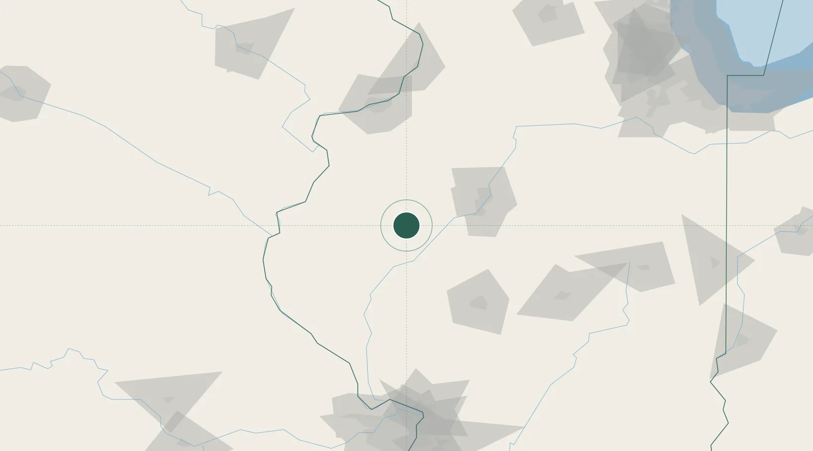
Smithfield
40.4667°, -90.2833°
221
Population
2
Transport functions
Transport Functions
Road
Multimodal
Hub Profile
Place type
Populated place
Region
Illinois
Population
221
Time zone
America/Chicago
Elevation
197 m
Location
Nearby Logistics Neighbours
Cities
- 1Vermont23 km
- 2Forest City40 km
- 3Manito44 km
- 4Rushville45 km
- 5Edwards55 km
Ports
- 1Calumet Harbor271 km
- 2Indiana Harbor274 km
- 3Chicago274 km
- 4Gary279 km
- 5Wilmette282 km
Airports
Trade Zones
- 1FTZ No. 114 Peoria64 km
- 2FTZ No. 055 Burlington79 km
- 3FTZ No. 245 Decatur124 km
- 4FTZ No. 031 Granite City192 km
- 5FTZ No. 271 Jo-Daviess and Carroll Counties206 km
DatabookThe Record of Consolidated Knowledge
United States beyond logistics?