Transport Functions
Road
Multimodal
Hub Profile
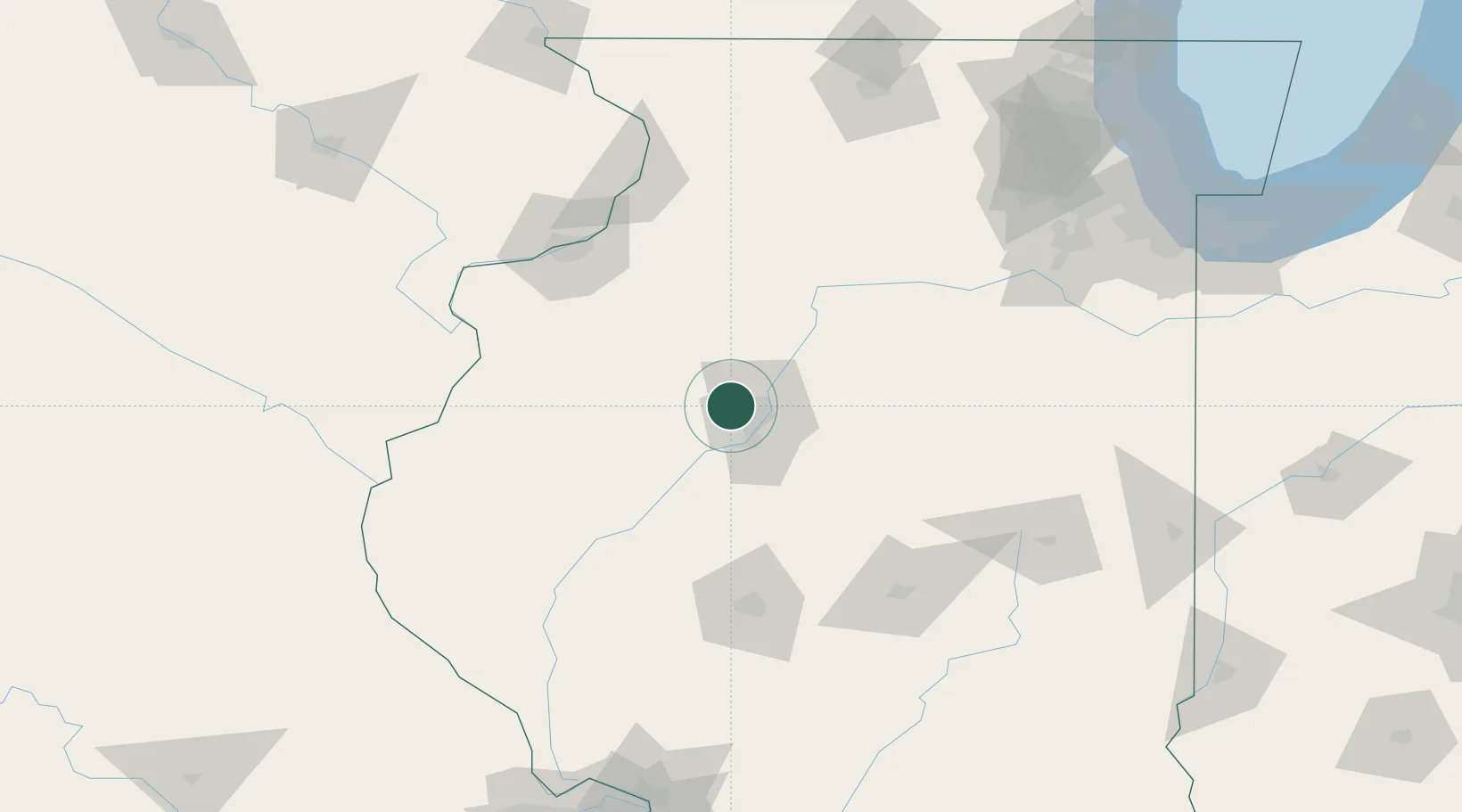
Place type
Populated place
Region
Illinois
Time zone
America/Chicago
Elevation
160 m
Location
Nearby Logistics Neighbours
Cities
- 1Peoria Heights16 km
- 2Princeville20 km
- 3Chillicothe29 km
- 4Washington30 km
- 5Metamora34 km
Ports
- 1Calumet Harbor216 km
- 2Indiana Harbor219 km
- 3Chicago219 km
- 4Gary224 km
- 5Wilmette227 km
Airports
Trade Zones
- 1FTZ No. 114 Peoria15 km
- 2FTZ No. 055 Burlington114 km
- 3FTZ No. 245 Decatur115 km
- 4FTZ No. 176 Rockford173 km
- 5FTZ No. 271 Jo-Daviess and Carroll Counties179 km
DatabookThe Record of Consolidated Knowledge
United States beyond logistics?