UN/LOCODE hub · United States
USR5E
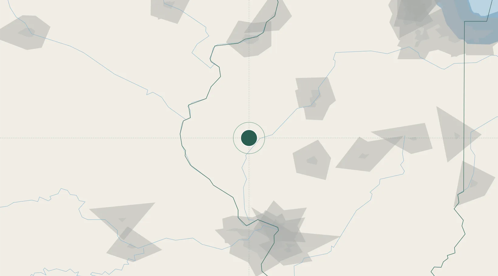
Rushville
40.1167°, -90.5500°
2,972
Population
1
Transport functions
Transport Functions
Multimodal
Hub Profile
Place type
Provincial seat
Region
Illinois
Population
2,972
Time zone
America/Chicago
Elevation
205 m
Location
Nearby Logistics Neighbours
Cities
- 1Vermont22 km
- 2Mount Sterling24 km
- 3Fargo31 km
- 4Monette31 km
- 5Meredosia32 km
Ports
- 1Calumet Harbor312 km
- 2Indiana Harbor314 km
- 3Chicago316 km
- 4Gary318 km
- 5Wilmette325 km
Airports
Trade Zones
- 1FTZ No. 055 Burlington90 km
- 2FTZ No. 114 Peoria104 km
- 3FTZ No. 245 Decatur130 km
- 4FTZ No. 031 Granite City156 km
- 5FTZ No. 102 St. Louis County164 km
DatabookThe Record of Consolidated Knowledge
United States beyond logistics?