UN/LOCODE hub · United States
USFCC
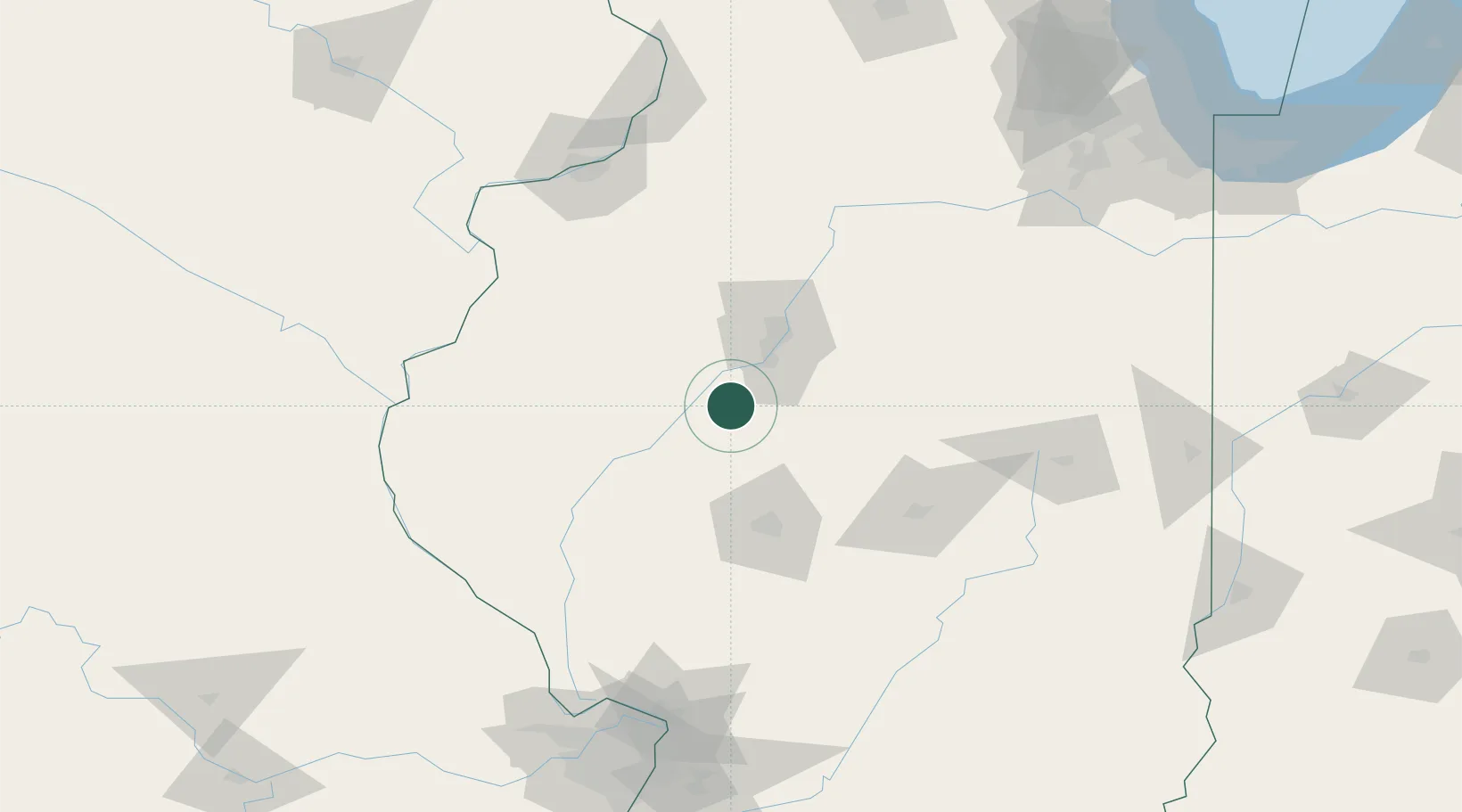
Forest City
40.3667°, -89.8333°
232
Population
4
Transport functions
Transport Functions
Port
Rail
Road
Multimodal
Hub Profile
Place type
Populated place
Region
Illinois
Population
232
Time zone
America/Chicago
Elevation
150 m
Location
Nearby Logistics Neighbours
Cities
- 1Manito8 km
- 2Smithfield40 km
- 3Petersburg, Menard41 km
- 4Edwards43 km
- 5Peoria Heights47 km
Ports
- 1Calumet Harbor247 km
- 2Indiana Harbor248 km
- 3Gary252 km
- 4Chicago252 km
- 5Wilmette262 km
Airports
Trade Zones
- 1FTZ No. 114 Peoria42 km
- 2FTZ No. 245 Decatur87 km
- 3FTZ No. 055 Burlington118 km
- 4FTZ No. 031 Granite City184 km
- 5FTZ No. 102 St. Louis County206 km
DatabookThe Record of Consolidated Knowledge
United States beyond logistics?