Transport Functions
Rail
Road
Multimodal
Hub Profile
Place type
Populated place
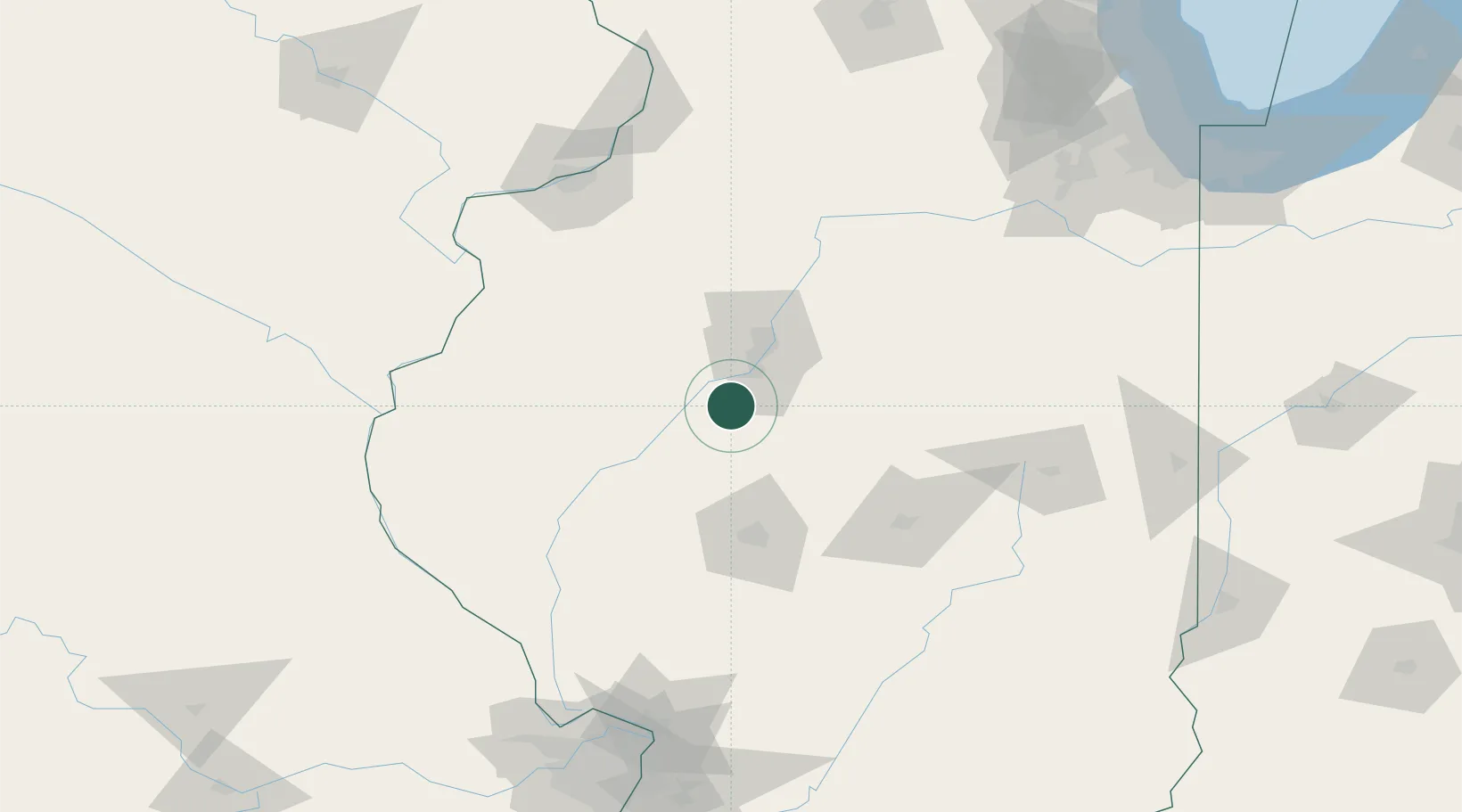
Region
Illinois
Population
1,527
Time zone
America/Chicago
Elevation
151 m
Location
Nearby Logistics Neighbours
Cities
- 1Forest City8 km
- 2Edwards37 km
- 3Peoria Heights39 km
- 4Smithfield44 km
- 5Washington44 km
Ports
- 1Calumet Harbor239 km
- 2Indiana Harbor240 km
- 3Gary244 km
- 4Chicago244 km
- 5Wilmette254 km
Airports
Trade Zones
- 1FTZ No. 114 Peoria34 km
- 2FTZ No. 245 Decatur87 km
- 3FTZ No. 055 Burlington121 km
- 4FTZ No. 031 Granite City190 km
- 5FTZ No. 176 Rockford209 km
DatabookThe Record of Consolidated Knowledge
United States beyond logistics?