Transport Functions
Rail
Road
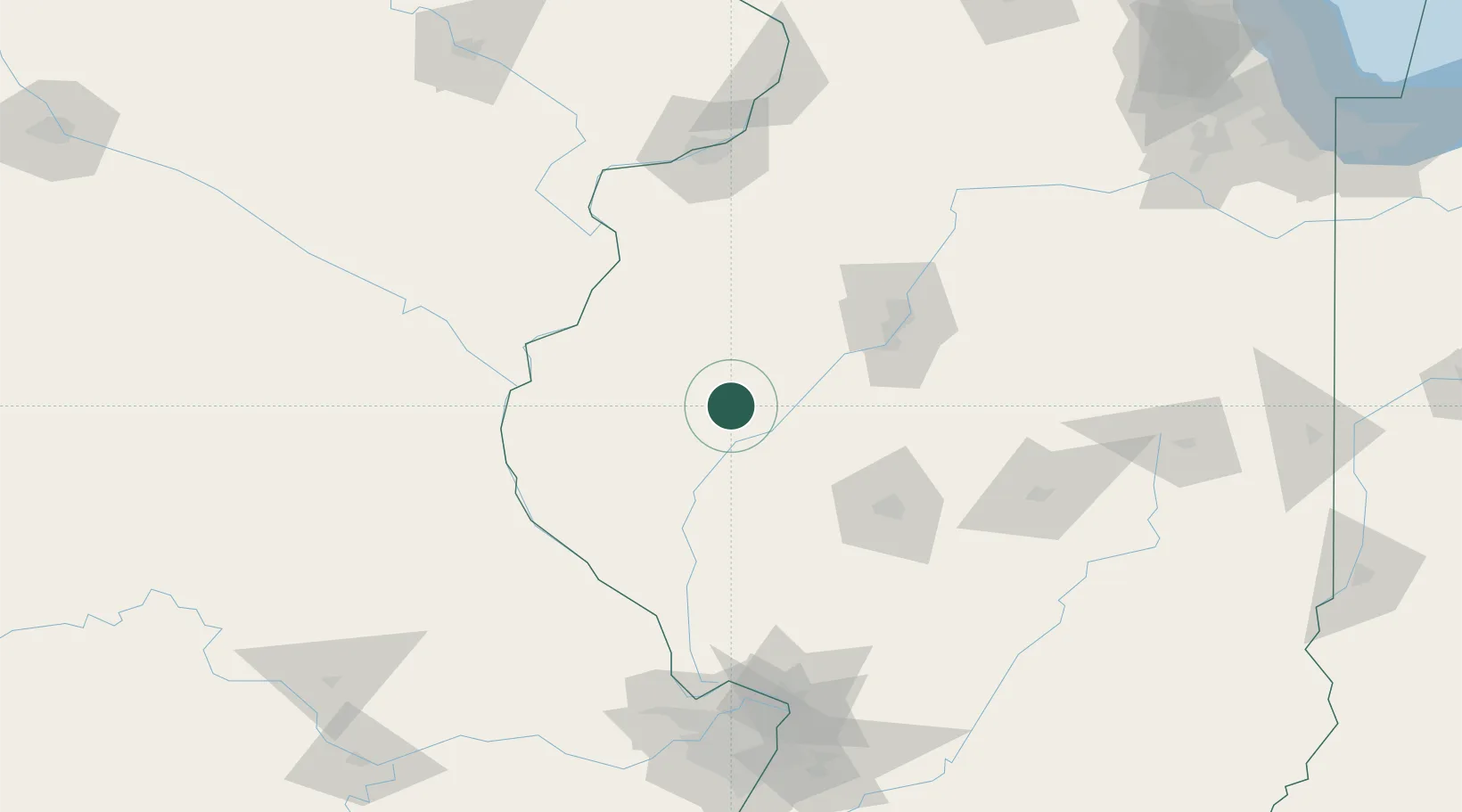
Hub Profile
Place type
Populated place
Region
Illinois
Population
646
Time zone
America/Chicago
Elevation
211 m
Location
Nearby Logistics Neighbours
Cities
- 1Rushville22 km
- 2Smithfield23 km
- 3Plymouth42 km
- 4Mount Sterling45 km
- 5Monette45 km
Ports
- 1Calumet Harbor292 km
- 2Indiana Harbor294 km
- 3Chicago296 km
- 4Gary298 km
- 5Wilmette304 km
Airports
Trade Zones
- 1FTZ No. 055 Burlington82 km
- 2FTZ No. 114 Peoria84 km
- 3FTZ No. 245 Decatur125 km
- 4FTZ No. 031 Granite City173 km
- 5FTZ No. 102 St. Louis County184 km
DatabookThe Record of Consolidated Knowledge
United States beyond logistics?