UN/LOCODE hub · United States
USGYS

Garysburg

36.4500°, -77.5500°
977
Population
3
Transport functions

Transport Functions

Rail
Road
Multimodal
UN/LOCODE

Hub Profile

Place type
Populated place
GeoNames
Region
North Carolina
GeoNames
Population
977
GeoNames
Time zone
America/New_York
GeoNames
Elevation
41 m
GeoNames

Location

Location of USGYS
Natural Earth 10m (public domain) · North Carolina · USGYS · 36.45, -77.55GoogleOSMYandex

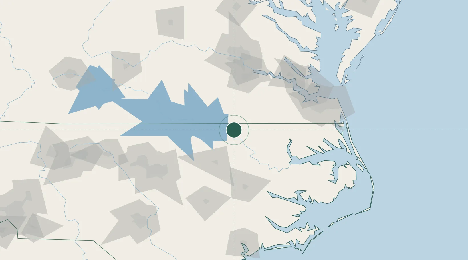
Nearby Logistics Neighbours

Cities
  1. 1Skippers19 km
  2. 2Pendleton31 km
  3. 3Rich Square31 km
  4. 4Boykins35 km
  5. 5Whitakers41 km
Nearest neighbours — logibook spatial index (haversine) over the source coordinates
Ports
  1. 1Edenton95 km
  2. 2Plymouth97 km
  3. 3Hertford102 km
  4. 4Washington110 km
  5. 5Newport News115 km
Nearest neighbours — logibook spatial index (haversine) over the source coordinates
Airports
  1. 1Rocky Mount Wilson Regional Airport73 km
  2. 2Lake Country Regional Airport92 km
  3. 3Pitt-Greenville Airport92 km
  4. 4Felker Army Air Field113 km
  5. 5Richmond International Airport119 km
Nearest neighbours — logibook spatial index (haversine) over the source coordinates
Trade Zones
  1. 1FTZ No. 020 Suffolk101 km
  2. 2FTZ No. 207 Richmond120 km
  3. 3FTZ No. 093 Raleigh Durham136 km
  4. 4FTZ No. 214 Lenoir County141 km
  5. 5FTZ No. 185 Culpeper County233 km
Nearest neighbours — logibook spatial index (haversine) over the source coordinates
DatabookThe Record of Consolidated Knowledge
United States beyond logistics?
Browse databook

All Sources

LocationsUN/LOCODE
UN/LOCODE — free
LocationsGeoNames
CC BY 4.0
Portsthe NGA World Port Index
Public domain (US gov)
AirportsOurAirports
Public domain
Trade Zonesthe World Bank SEZ database
CC BY 4.0
Trade ZonesOpen Zone Map
CC BY
← United States locations