Medium airport · United States

Rocky Mount Wilson Regional AirportKRWI
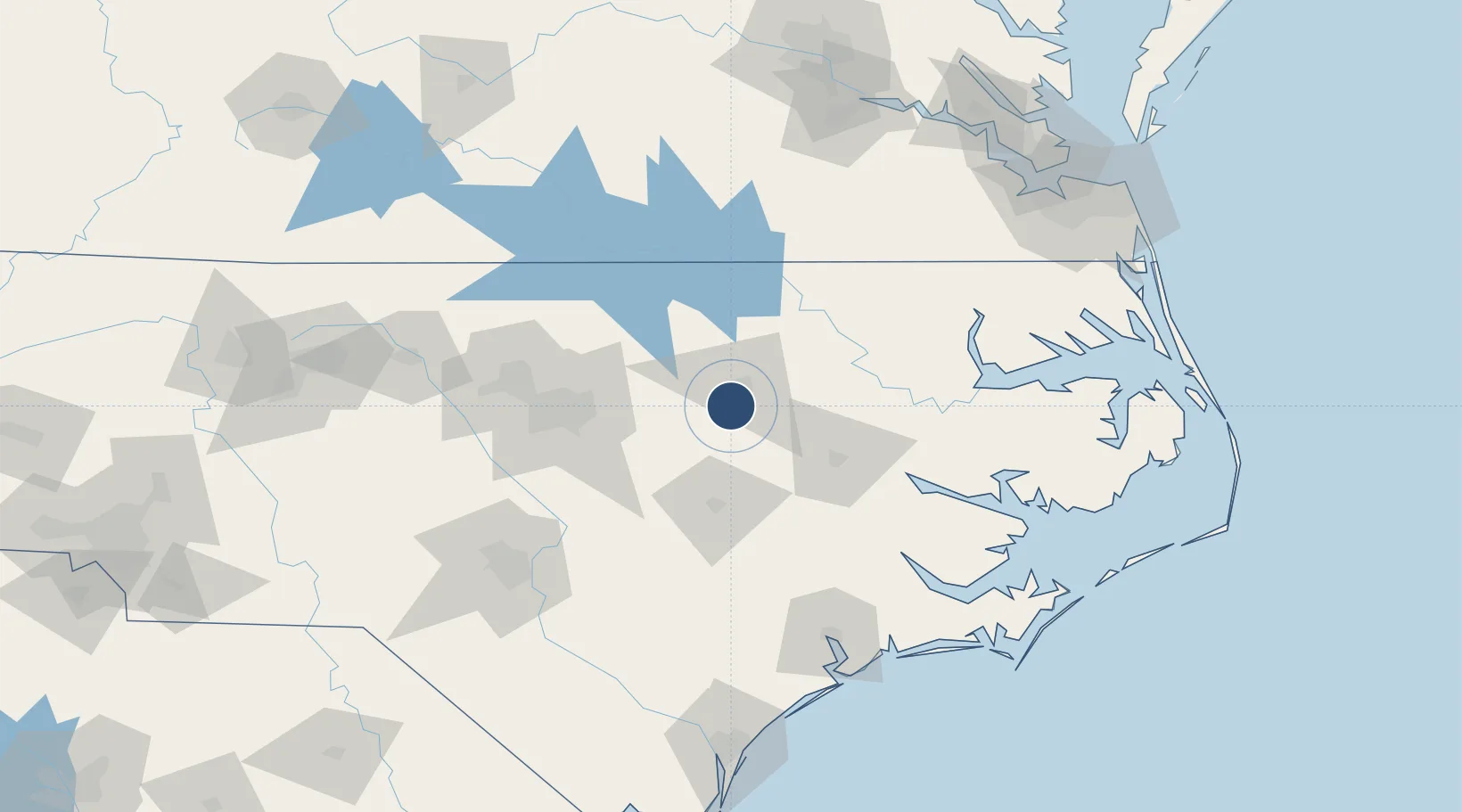
35.8563°, -77.8919°
7,099 ft
Longest runway
1
Runways
159 ft
Elevation

Runway & Layout

Rocky Mount Wilson Regional Airport runway & taxiway layout
Runway & taxiway layout — OpenStreetMap (ODbL) / OurAirports

Radio Frequencies

ASOS
118.875 MHz
CLD
122.3 MHz
CLNC DEL
CNTR
135.3 MHz
WASHINGTON CNTR
RDO
122.2 MHz
RALEIGH RDO
UNIC
123.05 MHz
CTAF/UNICOM
OurAirports

Navaids

TYI VORTAC Tar River 117.80 MHz
OurAirports

Runways · 1

RunwayDimensions SurfaceTrue headingLit
04/22 7,099 × 150ft Asphalt 033°
OurAirports

Airport Specifications

IATA code
RWI
OurAirports
ICAO code
KRWI
OurAirports
Airport class
Medium airport
OurAirports
Scheduled service
No
OurAirports
Runway surface
Asphalt
OurAirports
Served city
Rocky Mount
OurAirports

Location

Location of KRWI
Natural Earth 10m (public domain) · North Carolina · KRWI · 35.86, -77.89GoogleOSMYandex

Nearby Logistics Neighbours

Airports
  1. 1Pitt-Greenville Airport52 km
  2. 2Johnston Regional Airport57 km
  3. 3Seymour Johnson Air Force Base58 km
  4. 4Kinston Regional Jetport At Stallings Field64 km
  5. 5Raleigh-Durham International Airport81 km
Nearest neighbours — logibook spatial index (haversine) over the source coordinates
Cities
  1. 1Elm City7 km
  2. 2Sharpsburg7 km
  3. 3Nashville14 km
  4. 4Pinetops25 km
  5. 5Salemburg28 km
Nearest neighbours — logibook spatial index (haversine) over the source coordinates
Ports
  1. 1Washington83 km
  2. 2Plymouth103 km
  3. 3New Bern114 km
  4. 4Edenton117 km
  5. 5Belhaven118 km
Nearest neighbours — logibook spatial index (haversine) over the source coordinates
Trade Zones
  1. 1FTZ No. 214 Lenoir County71 km
  2. 2FTZ No. 093 Raleigh Durham91 km
  3. 3FTZ No. 020 Suffolk167 km
  4. 4FTZ No. 207 Richmond188 km
  5. 5FTZ No. 230 Piedmont Triad Area206 km
Nearest neighbours — logibook spatial index (haversine) over the source coordinates
DatabookThe Record of Consolidated Knowledge
United States beyond logistics?
Browse databook

All Sources

AirportsOurAirports
Public domain
Portsthe NGA World Port Index
Public domain (US gov)
LocationsUN/LOCODE
UN/LOCODE — free
Trade Zonesthe World Bank SEZ database
CC BY 4.0
Trade ZonesOpen Zone Map
CC BY
InfrastructureOpenStreetMap
ODbL 1.0
← United States airports