Medium airport · United States

Florida Keys Marathon International AirportKMTH
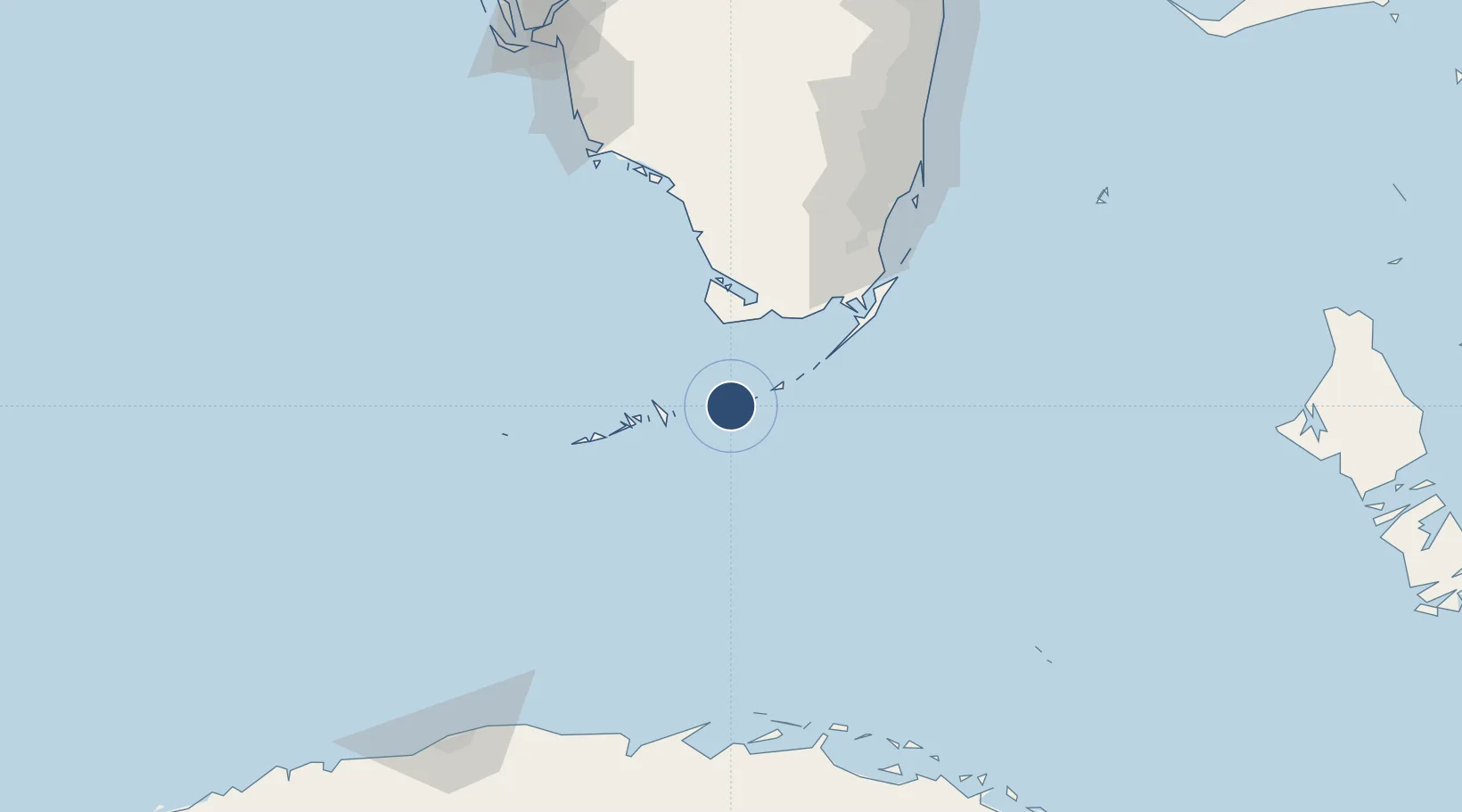
24.7260°, -81.0514°
5,008 ft
Longest runway
1
Runways
5 ft
Elevation

Runway & Layout

Florida Keys Marathon International Airport runway & taxiway layout
Runway & taxiway layout — OpenStreetMap (ODbL) / OurAirports

Radio Frequencies

ASOS
135.525 MHz
CNTR
133.5 MHz
MIAMI CNTR
RDO
122.6 MHz
MIAMI RDO
UNIC
122.8 MHz
CTAF/UNICOM
OurAirports

Runways · 1

RunwayDimensions SurfaceTrue headingLit
07/25 5,008 × 100ft Asphalt 067°
OurAirports

Airport Specifications

IATA code
MTH
OurAirports
ICAO code
KMTH
OurAirports
Airport class
Medium airport
OurAirports
Scheduled service
No
OurAirports
Runway surface
Asphalt
OurAirports
Served city
Marathon
OurAirports

Location

Location of KMTH
Natural Earth 10m (public domain) · Florida · KMTH · 24.73, -81.05GoogleOSMYandex

Nearby Logistics Neighbours

Airports
  1. 1Naval Air Station Key West/Boca Chica Field67 km
  2. 2Key West International Airport74 km
  3. 3Miami Homestead General Aviation Airport100 km
  4. 4Ocean Reef Club Airport103 km
  5. 5Homestead Air Reserve Base108 km
Nearest neighbours — logibook spatial index (haversine) over the source coordinates
Cities
  1. 1Summerland Key41 km
  2. 2Islamorada49 km
  3. 3Plantation57 km
  4. 4Tavernier62 km
  5. 5Florida City99 km
Nearest neighbours — logibook spatial index (haversine) over the source coordinates
Ports
  1. 1Key West80 km
  2. 2Miami146 km
  3. 3Port Everglades179 km
  4. 4Cardenas187 km
  5. 5Matanzas193 km
Nearest neighbours — logibook spatial index (haversine) over the source coordinates
Trade Zones
  1. 1FTZ No. 281 Miami-Dade County98 km
  2. 2FTZ No. 032 Miami140 km
  3. 3FTZ No. 180 Miami (Wynwood)147 km
  4. 4FTZ No. 025 Broward County177 km
  5. 5FTZ No. 241 Fort Lauderdale186 km
Nearest neighbours — logibook spatial index (haversine) over the source coordinates
DatabookThe Record of Consolidated Knowledge
United States beyond logistics?
Browse databook

All Sources

AirportsOurAirports
Public domain
Portsthe NGA World Port Index
Public domain (US gov)
LocationsUN/LOCODE
UN/LOCODE — free
Trade Zonesthe World Bank SEZ database
CC BY 4.0
Trade ZonesOpen Zone Map
CC BY
InfrastructureOpenStreetMap
ODbL 1.0
← United States airports