Medium airport · United States
Naval Air Station Key West/Boca Chica FieldKNQX
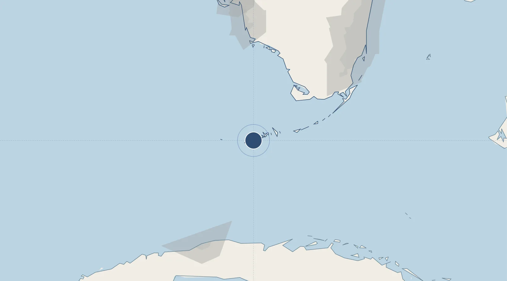
24.5758°, -81.6889°
10,001 ft
Longest runway
3
Runways
6 ft
Elevation
Runway & Layout

Radio Frequencies
ATIS
27.72 MHz
TWR
126.1 MHz
GND
121.7 MHz
CLD
121.2 MHz
CLNC DEL
A/D
119.25 MHz
APP DEP
OPS
33.8 MHz
BASE OPS
PMSV
34.46 MHz
PMSV METRO
Navaids
EYW VORTAC Key West 113.50 MHz
NQX TACAN Key West 113.10 MHz
Runways · 3
| Runway | Dimensions | Surface | True heading | Lit |
|---|---|---|---|---|
| 08/26 | 10,001 × 200ft | Asphalt / concrete | 073° | ✓ |
| 04/22 | 7,001 × 150ft | Asphalt / concrete | 032° | ✓ |
| 14/32 | 7,000 × 150ft | Asphalt / concrete | 131° | ✓ |
Airport Specifications
IATA code
NQX
ICAO code
KNQX
Airport class
Medium airport
Scheduled service
No
Runway surface
Asphalt / concrete
Served city
Key West
Location
Nearby Logistics Neighbours
Airports
Cities
- 1Summerland Key26 km
- 2Islamorada115 km
- 3Plantation123 km
- 4Tavernier127 km
- 5Florida City156 km
Ports
- 1Key West13 km
- 2Matanzas170 km
- 3Bahai De La Habana175 km
- 4Cardenas177 km
- 5Miami202 km
Trade Zones
- 1FTZ No. 281 Miami-Dade County145 km
- 2FTZ No. 032 Miami194 km
- 3FTZ No. 180 Miami (Wynwood)202 km
- 4Mariel Special Development Zone208 km
- 5FTZ No. 213 Fort Myers228 km
DatabookThe Record of Consolidated Knowledge
United States beyond logistics?