Medium airport · United States

Key West International AirportKEYW
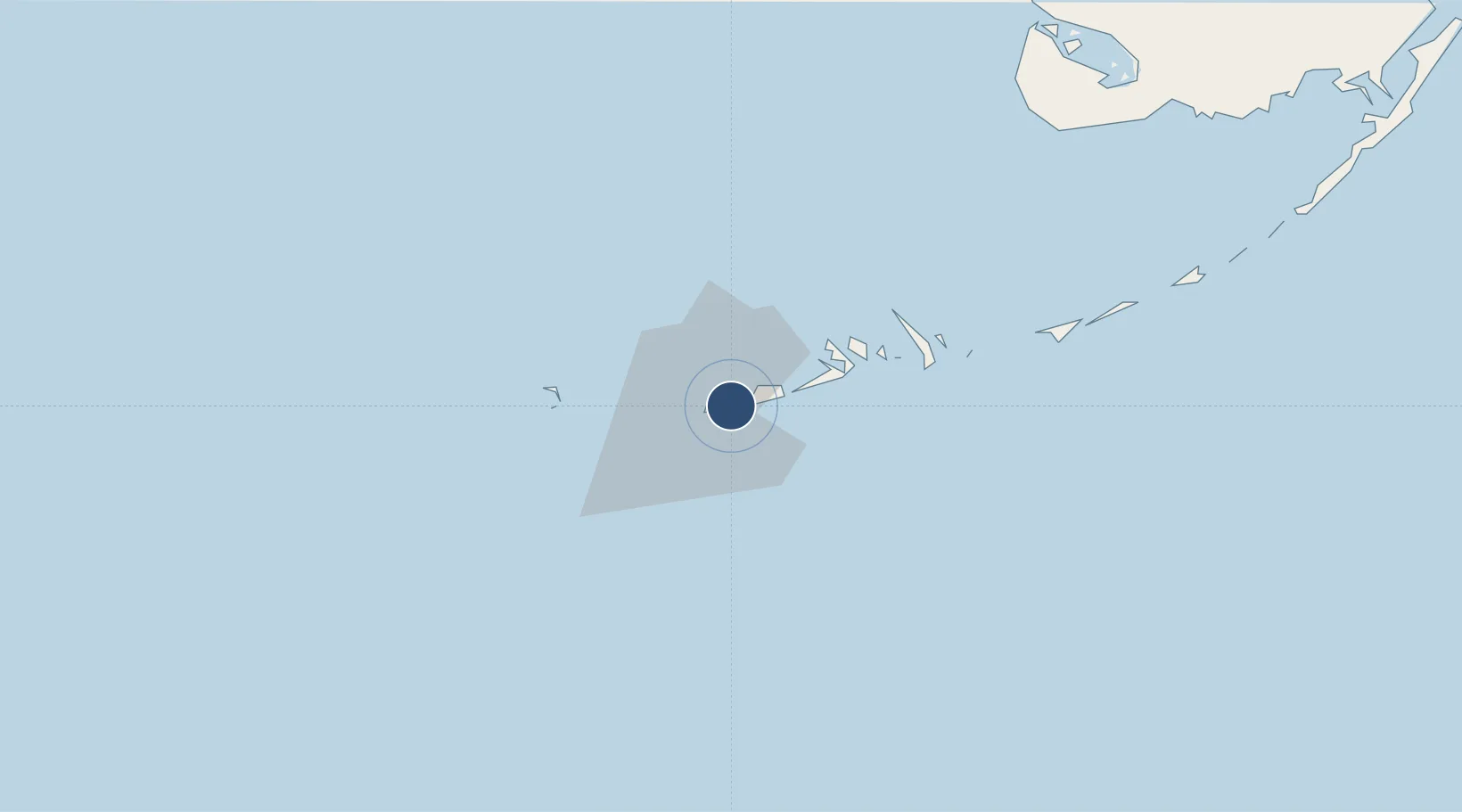
24.5561°, -81.7596°
5,076 ft
Longest runway
1
Runways
3 ft
Elevation

Runway & Layout

Key West International Airport runway & taxiway layout
Runway & taxiway layout — OpenStreetMap (ODbL) / OurAirports

Radio Frequencies

ATIS
119.675 MHz
ASOS
119.65 MHz
TWR
118.2 MHz
GND
121.9 MHz
CLD
121.9 MHz
CLNC DEL
CTAF
118.2 MHz
A/D
124.45 MHz
NAVY KEY WEST
FSS
122.2 MHz
MIAMI RDO
UNIC
122.95 MHz
UNICOM
OurAirports

Navaids

FIS NDB Fish Hook 332 kHz
OurAirports

Runways · 1

RunwayDimensions SurfaceTrue headingLit
09/27 5,076 × 100ft Asphalt 089°
OurAirports

Airport Specifications

IATA code
EYW
OurAirports
ICAO code
KEYW
OurAirports
Airport class
Medium airport
OurAirports
Scheduled service
Yes
OurAirports
Runway surface
Asphalt
OurAirports
Served city
Key West
OurAirports

Location

Location of KEYW
Natural Earth 10m (public domain) · Florida · KEYW · 24.56, -81.76GoogleOSMYandex

Nearby Logistics Neighbours

Airports
  1. 1Naval Air Station Key West/Boca Chica Field8 km
  2. 2Florida Keys Marathon International Airport74 km
  3. 3Miami Homestead General Aviation Airport160 km
  4. 4Kawama Airport166 km
  5. 5Juan Gualberto Gomez International Airport172 km
Nearest neighbours — logibook spatial index (haversine) over the source coordinates
Cities
  1. 1Summerland Key33 km
  2. 2Islamorada122 km
  3. 3Plantation130 km
  4. 4Tavernier135 km
  5. 5Florida City163 km
Nearest neighbours — logibook spatial index (haversine) over the source coordinates
Ports
  1. 1Key West6 km
  2. 2Matanzas169 km
  3. 3Bahai De La Habana170 km
  4. 4Cardenas177 km
  5. 5Mariel202 km
Nearest neighbours — logibook spatial index (haversine) over the source coordinates
Trade Zones
  1. 1FTZ No. 281 Miami-Dade County152 km
  2. 2FTZ No. 032 Miami200 km
  3. 3Mariel Special Development Zone202 km
  4. 4FTZ No. 180 Miami (Wynwood)209 km
  5. 5FTZ No. 213 Fort Myers230 km
Nearest neighbours — logibook spatial index (haversine) over the source coordinates
DatabookThe Record of Consolidated Knowledge
United States beyond logistics?
Browse databook

All Sources

AirportsOurAirports
Public domain
Portsthe NGA World Port Index
Public domain (US gov)
LocationsUN/LOCODE
UN/LOCODE — free
Trade Zonesthe World Bank SEZ database
CC BY 4.0
Trade ZonesOpen Zone Map
CC BY
InfrastructureOpenStreetMap
ODbL 1.0
← United States airports