UN/LOCODE hub · United States
USPL9
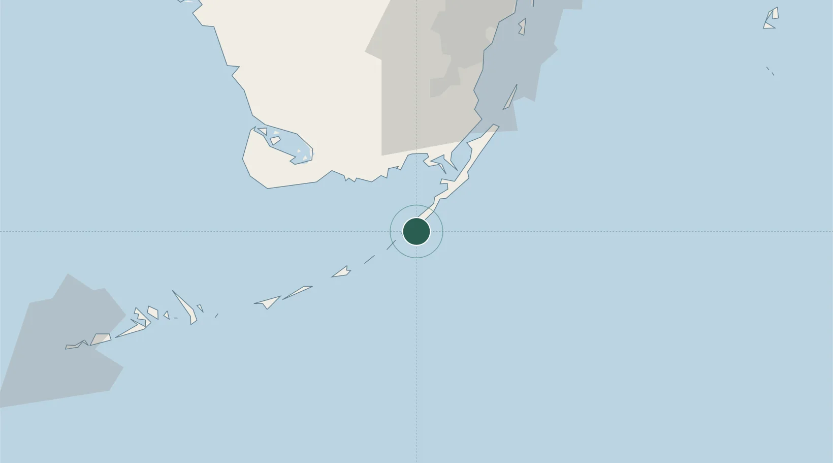
Plantation
24.9667°, -80.5500°
1,885
Population
1
Transport functions
Transport Functions
Multimodal
Hub Profile
Place type
Populated place
Region
Florida
Population
1,885
Time zone
America/New_York
Elevation
3 m
Location
Nearby Logistics Neighbours
Cities
- 1Tavernier5 km
- 2Islamorada9 km
- 3Florida City54 km
- 4Naranja63 km
- 5Palmetto Bay76 km
Ports
- 1Miami98 km
- 2Port Everglades133 km
- 3Key West136 km
- 4Palm Beach206 km
- 5Cardenas223 km
Airports
Trade Zones
- 1FTZ No. 281 Miami-Dade County68 km
- 2FTZ No. 032 Miami95 km
- 3FTZ No. 180 Miami (Wynwood)99 km
- 4FTZ No. 025 Broward County131 km
- 5FTZ No. 241 Fort Lauderdale142 km
DatabookThe Record of Consolidated Knowledge
United States beyond logistics?