Transport Functions
Multimodal
Hub Profile
Place type
Populated place
Region
Pennsylvania
Time zone
America/New_York
Elevation
297 m
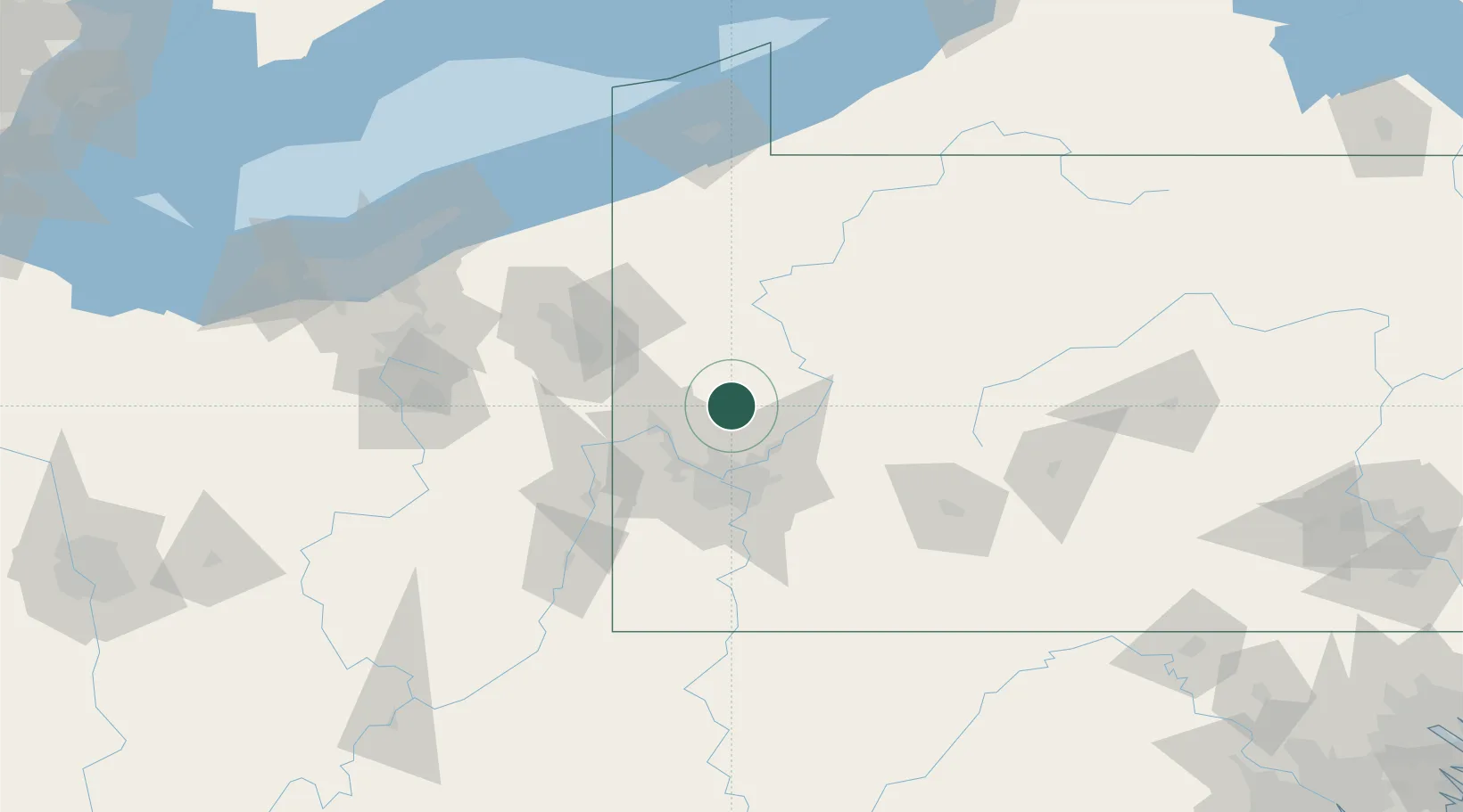
Location
Nearby Logistics Neighbours
Cities
- 1Callery10 km
- 2Harmony14 km
- 3Seven Fields16 km
- 4Sarver18 km
- 5Fombell21 km
Airports
Trade Zones
- 1FTZ No. 033 Pittsburgh42 km
- 2FTZ No. 295 Central Pennsylvania109 km
- 3FTZ No. 254 Jefferson County123 km
- 4FTZ No. 247 Erie147 km
- 5FTZ No. 181 Akron Canton152 km
DatabookThe Record of Consolidated Knowledge
United States beyond logistics?