UN/LOCODE hub · United States
USSYE
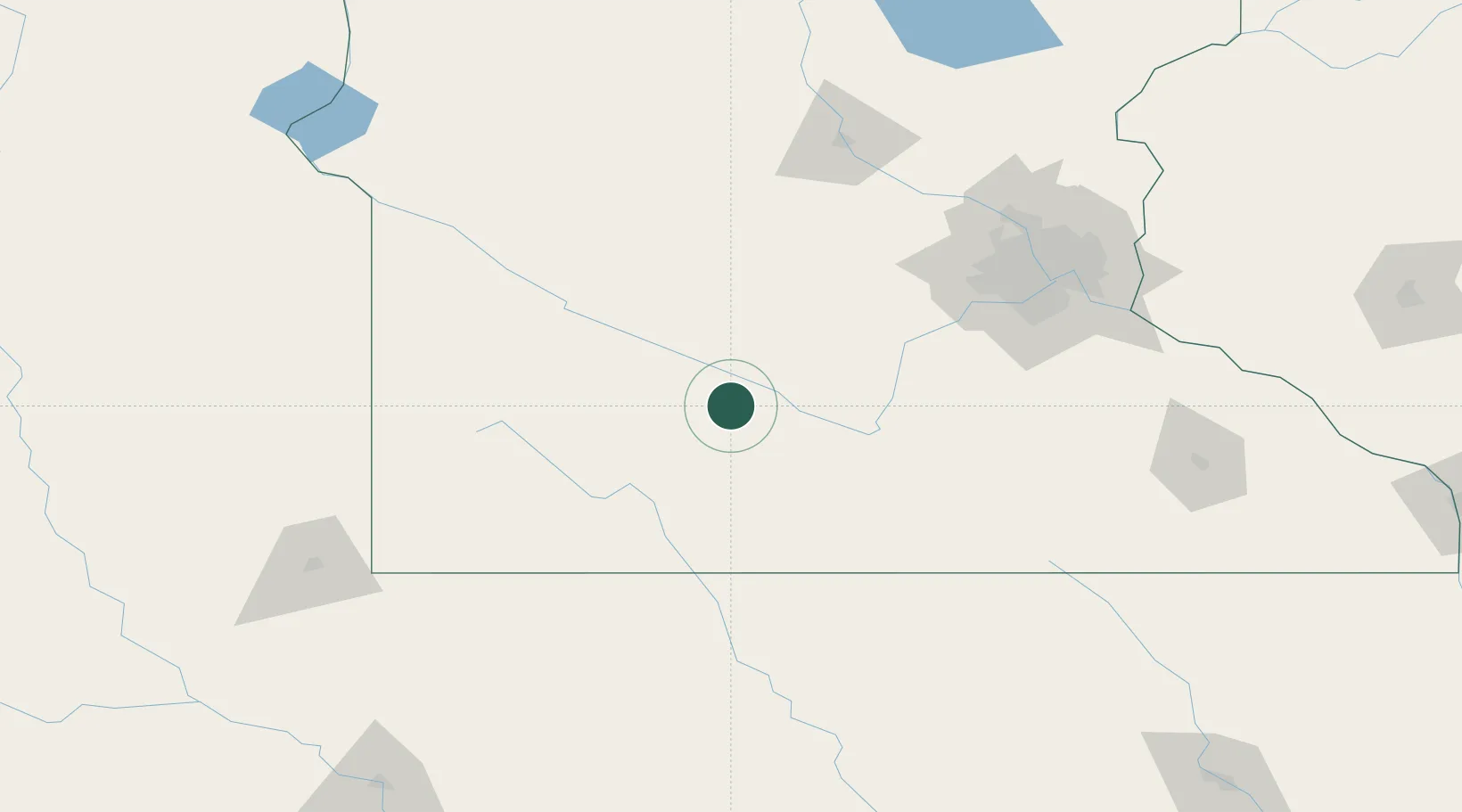
Sleepy Eye
44.3000°, -94.7333°
3,443
Population
2
Transport functions
Transport Functions
Rail
Road
Hub Profile
Place type
Populated place
Region
Minnesota
Population
3,443
Time zone
America/Chicago
Elevation
312 m
Location
Nearby Logistics Neighbours
Cities
- 1Springfield20 km
- 2Fairfax26 km
- 3Brighton32 km
- 4Morton34 km
- 5Saint James36 km
Ports
- 1Superior341 km
- 2Duluth342 km
- 3Two Harbors386 km
- 4Ashland395 km
- 5Washburn399 km
Airports
Trade Zones
- 1FTZ No. 119 Minneapolis-St. Paul140 km
- 2FTZ No. 288 Northwest Iowa166 km
- 3FTZ No. 220 Sioux Falls185 km
- 4FTZ No. 107 Polk County304 km
- 5FTZ No. 267 Fargo333 km
DatabookThe Record of Consolidated Knowledge
United States beyond logistics?