UN/LOCODE hub · United States
USNYI

Stony Point, Rockland

41.2333°, -73.9833°
4
Transport functions

Transport Functions

Port
Rail
Road
Multimodal
UN/LOCODE

Hub Profile

Region
NY
GeoNames

Location

Location of USNYI
Natural Earth 10m (public domain) · NY · USNYI · 41.23, -73.98GoogleOSMYandex

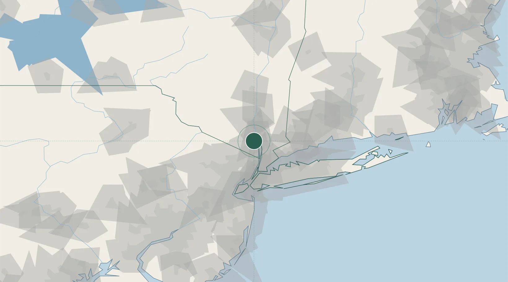
Nearby Logistics Neighbours

Cities
  1. 1Stony Point2 km
  2. 2Tomkins Cove2 km
  3. 3Garnerville4 km
  4. 4Buchanan5 km
  5. 5Croton-on-Hudson9 km
Nearest neighbours — logibook spatial index (haversine) over the source coordinates
Ports
  1. 1Newburgh30 km
  2. 2Yonkers34 km
  3. 3Port Chester37 km
  4. 4Greenwich39 km
  5. 5Stamford43 km
Nearest neighbours — logibook spatial index (haversine) over the source coordinates
Airports
  1. 1Westchester County Airport30 km
  2. 2New York Stewart International Airport32 km
  3. 3Teterboro Airport43 km
  4. 4Dutchess County Airport45 km
  5. 5Danbury Municipal Airport45 km
Nearest neighbours — logibook spatial index (haversine) over the source coordinates
Trade Zones
  1. 1FTZ No. 001 New York City58 km
  2. 2FTZ No. 049 Newark Elizabeth63 km
  3. 3FTZ No. 076 Bridgeport67 km
  4. 4FTZ No. 052 Suffolk County74 km
  5. 5FTZ No. 037 Orange County80 km
Nearest neighbours — logibook spatial index (haversine) over the source coordinates
DatabookThe Record of Consolidated Knowledge
United States beyond logistics?
Browse databook

All Sources

LocationsUN/LOCODE
UN/LOCODE — free
Portsthe NGA World Port Index
Public domain (US gov)
AirportsOurAirports
Public domain
Trade Zonesthe World Bank SEZ database
CC BY 4.0
Trade ZonesOpen Zone Map
CC BY
← United States locations