UN/LOCODE hub · United States
USPBZ
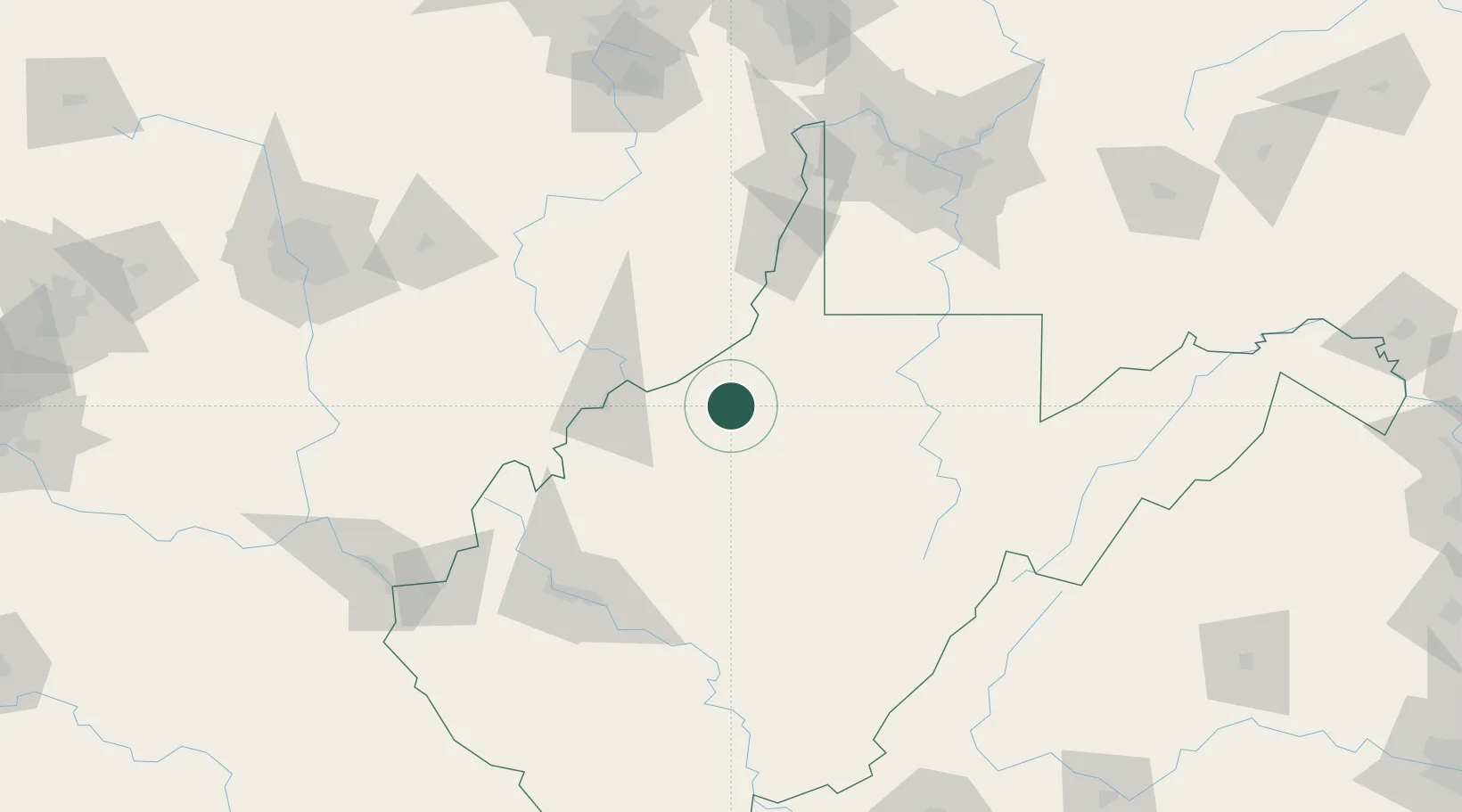
Pennsboro
39.2833°, -80.9667°
1,080
Population
2
Transport functions
Transport Functions
Road
Multimodal
Hub Profile
Place type
Populated place
Region
West Virginia
Population
1,080
Time zone
America/New_York
Elevation
264 m
Location
Nearby Logistics Neighbours
Cities
- 1Long Reach24 km
- 2Sistersville30 km
- 3Waverly35 km
- 4Reno37 km
- 5New Martinsville40 km
Airports
Trade Zones
- 1FTZ No. 229 Charleston123 km
- 2FTZ No. 033 Pittsburgh150 km
- 3FTZ No. 138 Franklin County179 km
- 4FTZ No. 181 Akron Canton197 km
- 5FTZ No. 054 Clinton County243 km
DatabookThe Record of Consolidated Knowledge
United States beyond logistics?