Transport Functions
Port
Road
Hub Profile
Place type
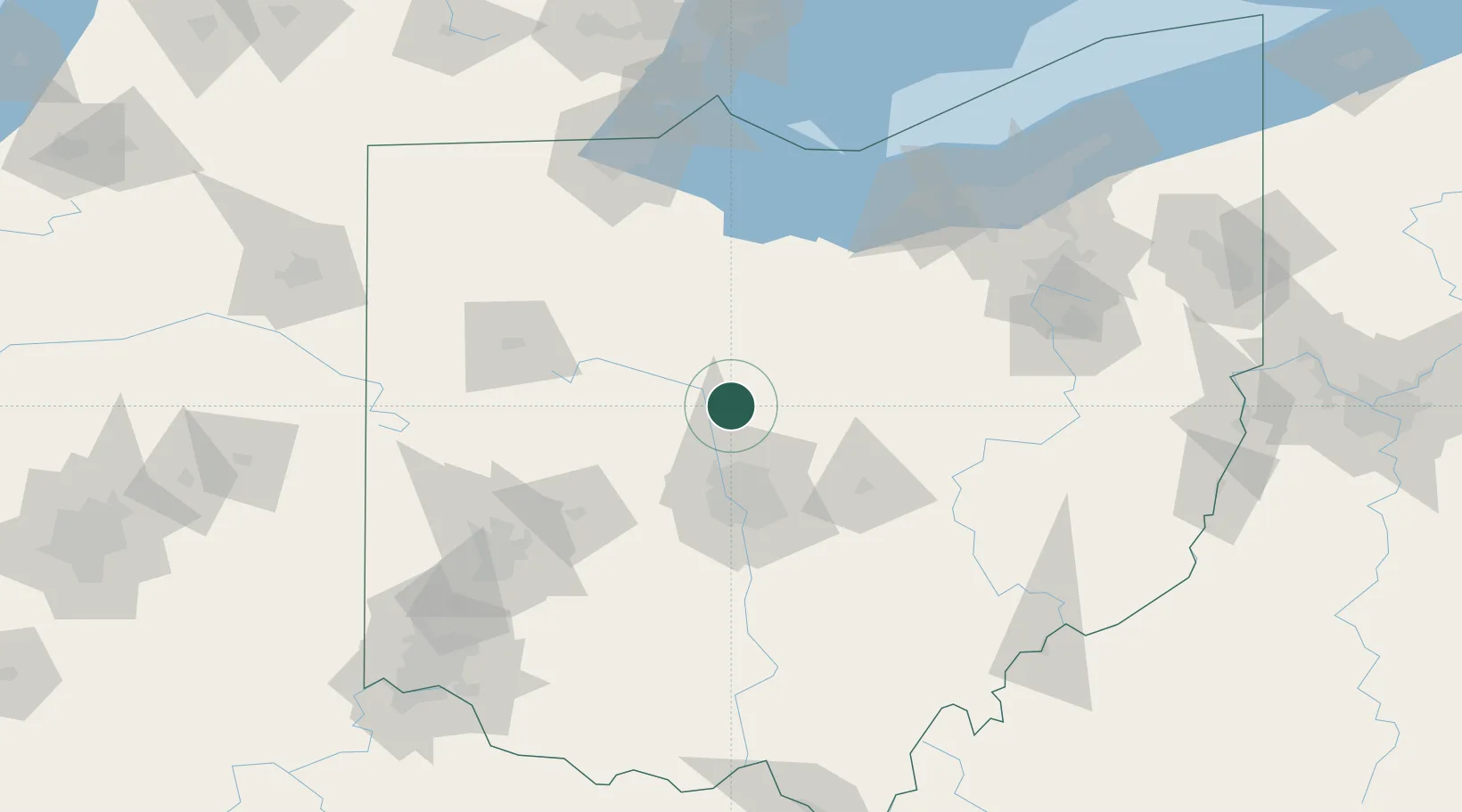
Populated place
Region
Ohio
Population
325
Time zone
America/New_York
Elevation
287 m
Location
Nearby Logistics Neighbours
Cities
- 1Pickerington17 km
- 2Richwood20 km
- 3Caledonia22 km
- 4Mount Gilead23 km
- 5Lewis Center30 km
Ports
- 1Huron114 km
- 2Sandusky115 km
- 3Port Clinton119 km
- 4Vermilion124 km
- 5Put In Bay135 km
Airports
Trade Zones
- 1FTZ No. 138 Franklin County71 km
- 2FTZ No. 151 Findlay85 km
- 3FTZ No. 181 Akron Canton125 km
- 4FTZ No. 100 Dayton126 km
- 5FTZ No. 054 Clinton County129 km
DatabookThe Record of Consolidated Knowledge
United States beyond logistics?