Transport Functions
Rail
Road
Multimodal
Hub Profile
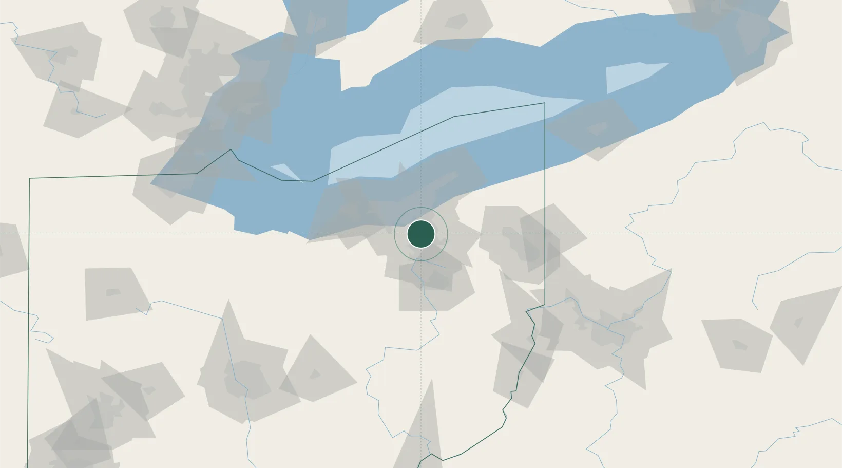
Place type
Local administrative seat
Region
Ohio
Population
571
Time zone
America/New_York
Elevation
230 m
Location
Nearby Logistics Neighbours
Cities
- 1Sagamore Hills11 km
- 2Munroe Falls14 km
- 3Fairlawn14 km
- 4Glenwillow16 km
- 5North Royalton20 km
Airports
Trade Zones
- 1FTZ No. 181 Akron Canton35 km
- 2FTZ No. 040 Cleveland38 km
- 3FTZ No. 033 Pittsburgh155 km
- 4FTZ No. 247 Erie155 km
- 5FTZ No. 008 Toledo172 km
DatabookThe Record of Consolidated Knowledge
United States beyond logistics?