Transport Functions
Port
Road
Multimodal
Hub Profile
Place type
Populated place
Region
Virginia
Time zone
America/New_York
Elevation
83 m
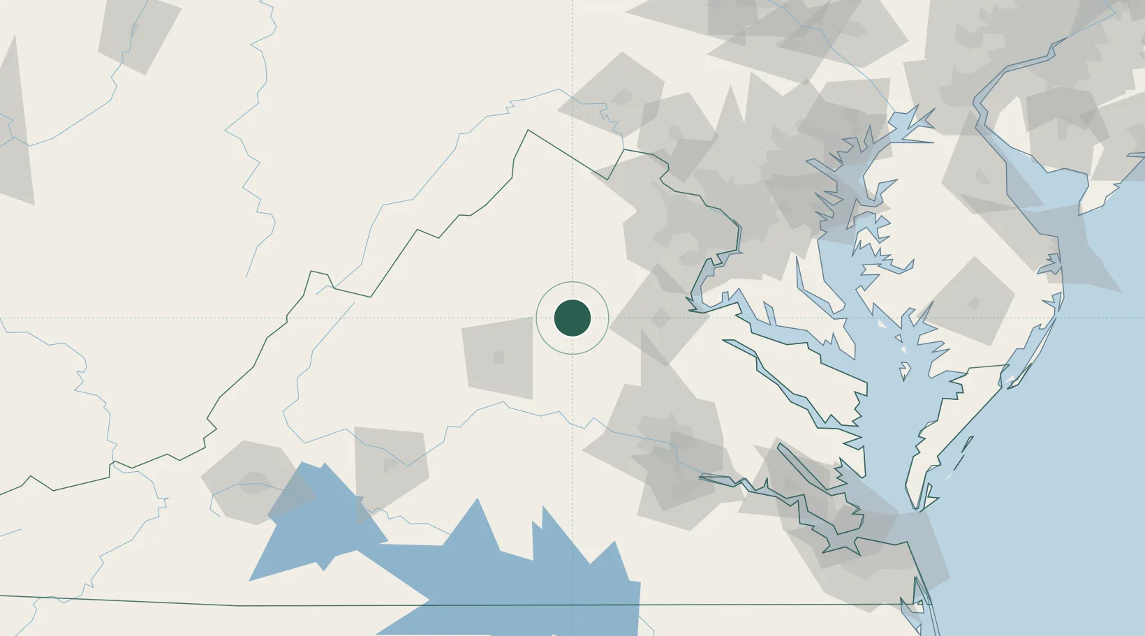
Location
Nearby Logistics Neighbours
Cities
- 1Aroda15 km
- 2Rochelle19 km
- 3Stevensburg20 km
- 4Barboursville24 km
- 5Parker26 km
Ports
- 1Fredericksburg52 km
- 2Richmond102 km
- 3Alexandria104 km
- 4Washington D.C.109 km
- 5Piney Point134 km
Airports
Trade Zones
DatabookThe Record of Consolidated Knowledge
United States beyond logistics?