UN/LOCODE hub · United States
USZFV
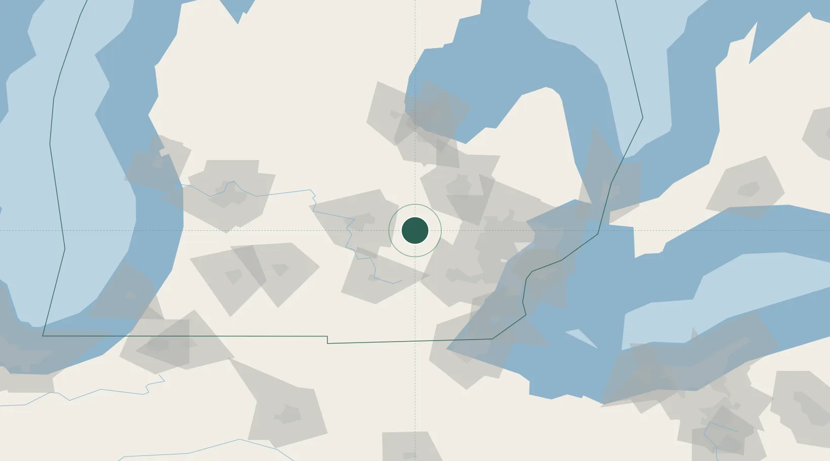
Fowlerville
42.6500°, -84.0667°
2,895
Population
2
Transport functions
Transport Functions
Rail
Road
Hub Profile
Place type
Populated place
Region
Michigan
Population
2,895
Time zone
America/Detroit
Elevation
275 m
Location
Nearby Logistics Neighbours
DatabookThe Record of Consolidated Knowledge
United States beyond logistics?