UN/LOCODE hub · United States
USTNO

Powell

36.0167°, -84.0167°
2
Transport functions

Transport Functions

Road
Multimodal
UN/LOCODE

Hub Profile

Place type
Populated place
GeoNames
Region
Tennessee
GeoNames
Time zone
America/New_York
GeoNames
Elevation
304 m
GeoNames

Location

Location of USTNO
Natural Earth 10m (public domain) · Tennessee · USTNO · 36.02, -84.02GoogleOSMYandex

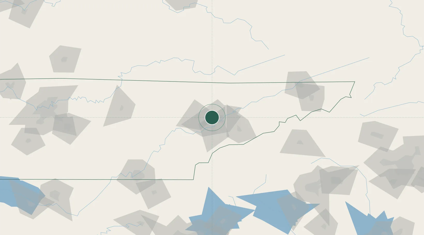
Nearby Logistics Neighbours

Cities
  1. 1Arlington, Knox6 km
  2. 2Rockford22 km
  3. 3Lake City24 km
  4. 4Plainfield28 km
  5. 5Luttrell, Union32 km
Nearest neighbours — logibook spatial index (haversine) over the source coordinates
Ports
  1. 1Beaufort504 km
  2. 2Port Royal509 km
  3. 3Savannah514 km
  4. 4Huron612 km
  5. 5Sandusky615 km
Nearest neighbours — logibook spatial index (haversine) over the source coordinates
Airports
  1. 1McGhee Tyson Airport23 km
  2. 2Western Carolina Regional Airport92 km
  3. 3Crossville Memorial Airport Whitson Field96 km
  4. 4London-Corbin Airport/Magee Field119 km
  5. 5Lake Cumberland Regional Airport127 km
Nearest neighbours — logibook spatial index (haversine) over the source coordinates
Trade Zones
  1. 1FTZ No. 148 Knoxville19 km
  2. 2FTZ No. 204 Tri-Cities153 km
  3. 3FTZ No. 134 Chattanooga160 km
  4. 4FTZ No. 038 Spartanburg County203 km
  5. 5FTZ No. 078 Nashville275 km
Nearest neighbours — logibook spatial index (haversine) over the source coordinates
DatabookThe Record of Consolidated Knowledge
United States beyond logistics?
Browse databook

All Sources

LocationsUN/LOCODE
UN/LOCODE — free
Portsthe NGA World Port Index
Public domain (US gov)
AirportsOurAirports
Public domain
Trade Zonesthe World Bank SEZ database
CC BY 4.0
Trade ZonesOpen Zone Map
CC BY
← United States locations