UN/LOCODE hub · United States
USFNV
Friendsville
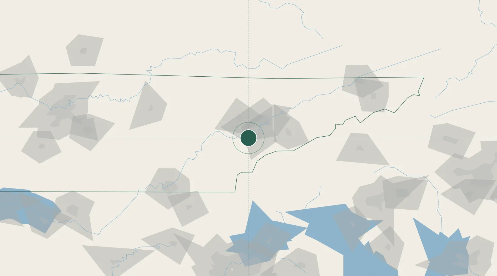
35.7500°, -84.1333°
920
Population
2
Transport functions
Transport Functions
Road
Multimodal
Hub Profile
Place type
Populated place
Region
Tennessee
Population
920
Time zone
America/New_York
Elevation
268 m
Location
Nearby Logistics Neighbours
Cities
- 1Plainfield15 km
- 2Rockford20 km
- 3Powell32 km
- 4Arlington, Knox32 km
- 5Coalfield39 km
Ports
- 1Beaufort488 km
- 2Port Royal492 km
- 3Savannah495 km
- 4Darien548 km
- 5Brunswick567 km
Airports
Trade Zones
- 1FTZ No. 148 Knoxville28 km
- 2FTZ No. 134 Chattanooga134 km
- 3FTZ No. 204 Tri-Cities175 km
- 4FTZ No. 038 Spartanburg County196 km
- 5FTZ No. 026 Atlanta222 km
DatabookThe Record of Consolidated Knowledge
United States beyond logistics?