Transport Functions
Road
Multimodal
Hub Profile
Place type
Populated place
Region
Alabama
Population
2,346
Time zone
America/Chicago
Elevation
444 m
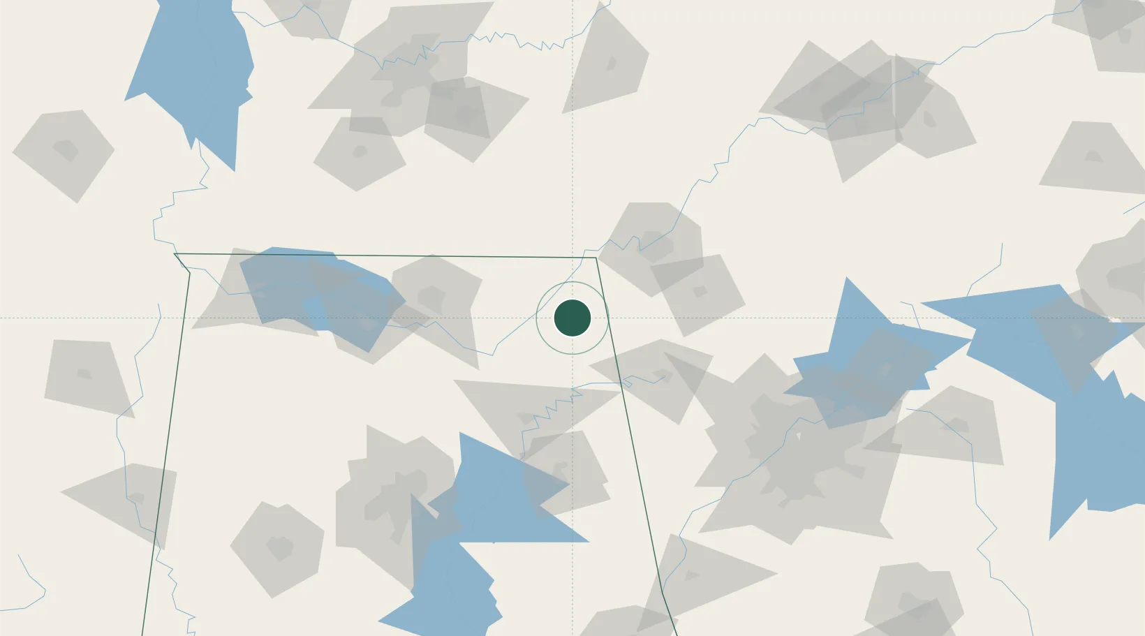
Location
Nearby Logistics Neighbours
Cities
- 1Mentone16 km
- 2Rainsville17 km
- 3Trenton36 km
- 4Lyerly40 km
- 5Summerville42 km
Ports
- 1Pensacola489 km
- 2Mobile490 km
- 3Panama City499 km
- 4Savannah517 km
- 5Beaufort530 km
Airports
Trade Zones
- 1FTZ No. 134 Chattanooga63 km
- 2FTZ No. 083 Huntsville93 km
- 3FTZ No. 270 Lawrence County107 km
- 4FTZ No. 265 Conroe (Montgomery County)111 km
- 5FTZ No. 098 Birmingham156 km
DatabookThe Record of Consolidated Knowledge
United States beyond logistics?