Transport Functions
Rail
Road
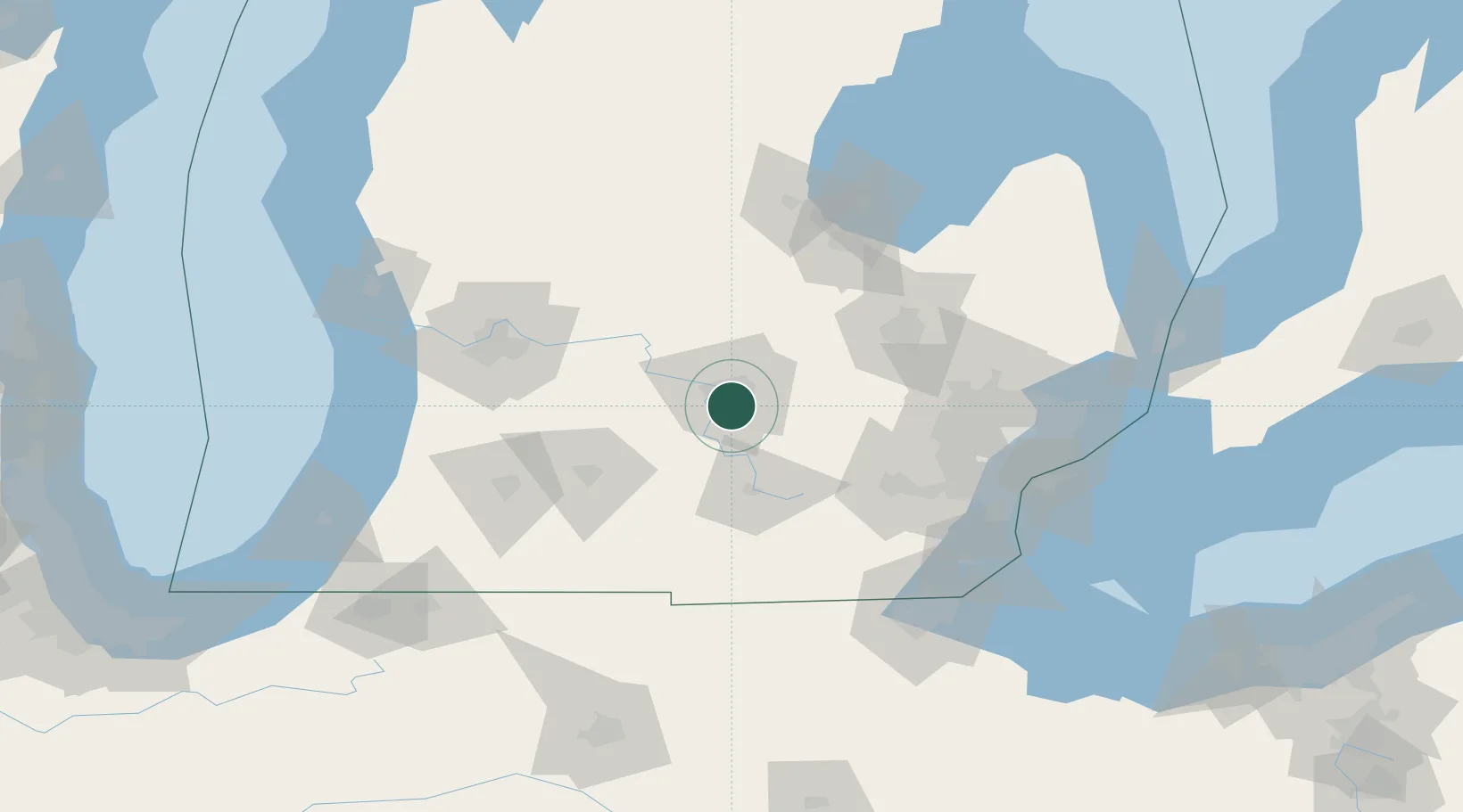
Hub Profile
Place type
Populated place
Region
Michigan
Population
23,973
Time zone
America/Detroit
Elevation
269 m
Location
Nearby Logistics Neighbours
Cities
- 1East Lansing10 km
- 2Okemos11 km
- 3Potterville18 km
- 4Williamston19 km
- 5Leslie24 km
Airports
Trade Zones
- 1FTZ No. 101 Clinton County38 km
- 2FTZ No. 284 Genesee County59 km
- 3FTZ No. 043 Battle Creek71 km
- 4FTZ No. 140 Flint73 km
- 5FTZ No. 070 Detroit110 km
DatabookThe Record of Consolidated Knowledge
United States beyond logistics?