UN/LOCODE hub · United States
USCGX
Carthage
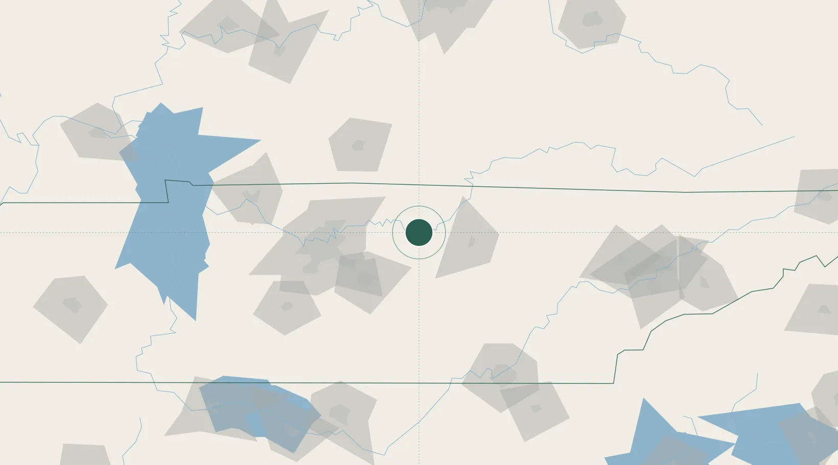
36.2500°, -85.9500°
2,278
Population
3
Transport functions
Transport Functions
Port
Rail
Road
Hub Profile
Place type
Provincial seat
Region
Tennessee
Population
2,278
Time zone
America/Chicago
Elevation
157 m
Location
Nearby Logistics Neighbours
Cities
- 1Red Boiling Springs33 km
- 2Smithville36 km
- 3Algood47 km
- 4Woodbury49 km
- 5Mount Juliet51 km
Ports
- 1Gary609 km
- 2Michigan City615 km
- 3Indiana Harbor616 km
- 4Calumet Harbor625 km
- 5Port Clinton641 km
Airports
Trade Zones
- 1FTZ No. 078 Nashville100 km
- 2FTZ No. 134 Chattanooga138 km
- 3FTZ No. 148 Knoxville158 km
- 4FTZ No. 083 Huntsville193 km
- 5FTZ No. 265 Conroe (Montgomery County)199 km
DatabookThe Record of Consolidated Knowledge
United States beyond logistics?