UN/LOCODE hub · United States
USRAJ
Rotterdam
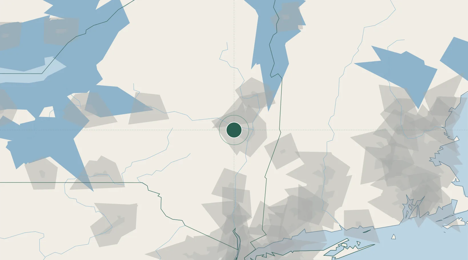
42.7833°, -73.9667°
20,652
Population
3
Transport functions
Transport Functions
Port
Rail
Road
Hub Profile
Place type
Populated place
Region
New York
Population
20,652
Time zone
America/New_York
Elevation
103 m
Location
Nearby Logistics Neighbours
Cities
- 1Maywood, Albany10 km
- 2Glenville11 km
- 3Colonie13 km
- 4Ballston Lake15 km
- 5Albany19 km
Ports
- 1Troy23 km
- 2Albany23 km
- 3Rensselaer23 km
- 4Catskill64 km
- 5Kingston95 km
Airports
Trade Zones
- 1FTZ No. 121 Albany14 km
- 2FTZ No. 268 Brattleboro112 km
- 3FTZ No. 201 Holyoke120 km
- 4FTZ No. 071 Windsor Locks145 km
- 5FTZ No. 037 Orange County174 km
DatabookThe Record of Consolidated Knowledge
United States beyond logistics?