UN/LOCODE hub · United States
USOUS

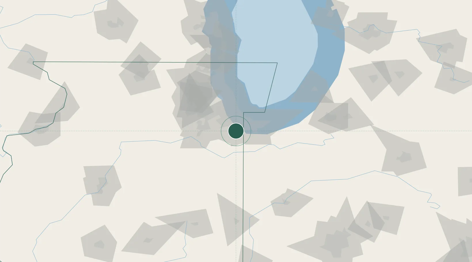
South Chicago Heights

41.4833°, -87.6333°
4,138
Population
2
Transport functions

Transport Functions

Rail
Road
UN/LOCODE

Hub Profile

Place type
Populated place
GeoNames
Region
Illinois
GeoNames
Population
4,138
GeoNames
Time zone
America/Chicago
GeoNames
Elevation
218 m
GeoNames

Location

Location of USOUS
Natural Earth 10m (public domain) · Illinois · USOUS · 41.48, -87.63GoogleOSMYandex

Nearby Logistics Neighbours

Cities
  1. 1Steger2 km
  2. 2Glenwood6 km
  3. 3Matteson6 km
  4. 4Homewood8 km
  5. 5Lynwood9 km
Nearest neighbours — logibook spatial index (haversine) over the source coordinates
Ports
  1. 1Indiana Harbor26 km
  2. 2Gary29 km
  3. 3Calumet Harbor29 km
  4. 4Chicago45 km
  5. 5Wilmette67 km
Nearest neighbours — logibook spatial index (haversine) over the source coordinates
Airports
  1. 1Gary/Chicago International Airport24 km
  2. 2Chicago Midway International Airport35 km
  3. 3Greater Kankakee Airport49 km
  4. 4Porter County Municipal Airport52 km
  5. 5Chicago O'Hare International Airport60 km
Nearest neighbours — logibook spatial index (haversine) over the source coordinates
Trade Zones
  1. 1FTZ No. 152 Burns Harbor42 km
  2. 2FTZ No. 022 Chicago44 km
  3. 3FTZ No. 292 Lake County96 km
  4. 4FTZ No. 125 South Bend109 km
  5. 5FTZ No. 176 Rockford156 km
Nearest neighbours — logibook spatial index (haversine) over the source coordinates
DatabookThe Record of Consolidated Knowledge
United States beyond logistics?
Browse databook

All Sources

LocationsUN/LOCODE
UN/LOCODE — free
LocationsGeoNames
CC BY 4.0
Portsthe NGA World Port Index
Public domain (US gov)
AirportsOurAirports
Public domain
Trade Zonesthe World Bank SEZ database
CC BY 4.0
Trade ZonesOpen Zone Map
CC BY
← United States locations