Transport Functions
Rail
Road
Hub Profile
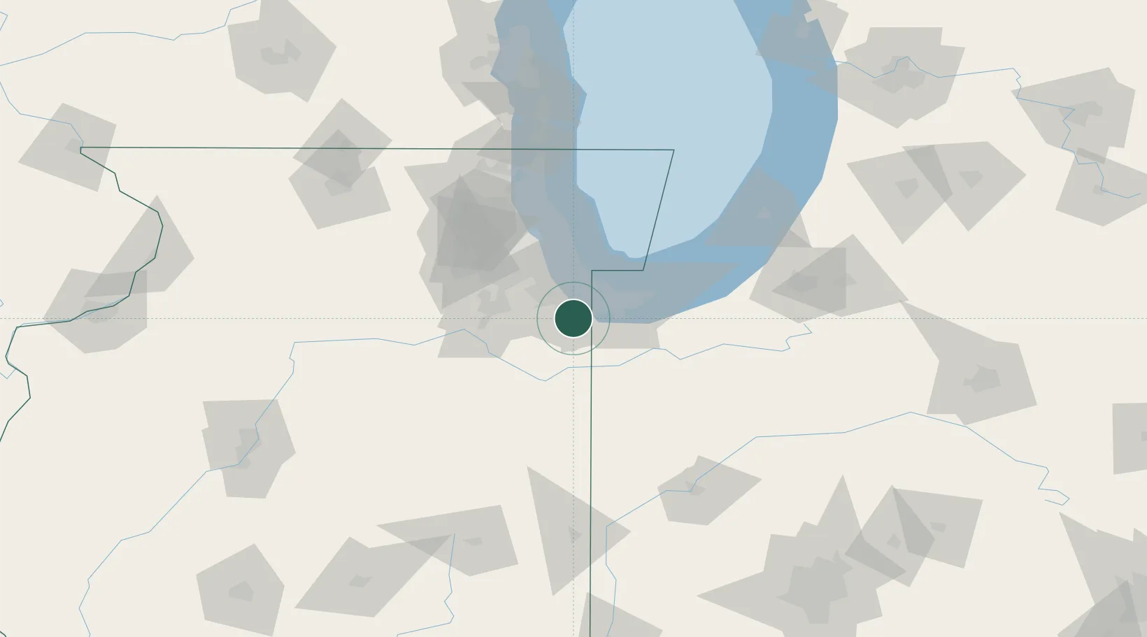
Place type
Populated place
Region
Illinois
Population
9,515
Time zone
America/Chicago
Elevation
217 m
Location
Nearby Logistics Neighbours
Cities
- 1South Chicago Heights2 km
- 2Matteson7 km
- 3Glenwood7 km
- 4Homewood9 km
- 5Lynwood10 km
Ports
- 1Indiana Harbor28 km
- 2Gary30 km
- 3Calumet Harbor31 km
- 4Chicago46 km
- 5Michigan City68 km
Airports
Trade Zones
- 1FTZ No. 152 Burns Harbor43 km
- 2FTZ No. 022 Chicago45 km
- 3FTZ No. 292 Lake County98 km
- 4FTZ No. 125 South Bend110 km
- 5FTZ No. 176 Rockford157 km
DatabookThe Record of Consolidated Knowledge
United States beyond logistics?