Transport Functions
Road
Multimodal
Hub Profile
Place type
Populated place
Region
Illinois
Population
19,923
Time zone
America/Chicago
Elevation
215 m
Logistics facilities
1
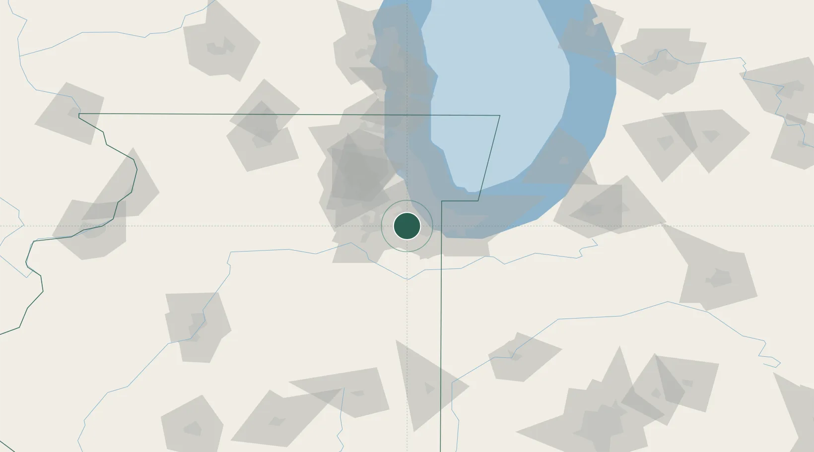
Location
Nearby Logistics Neighbours
Cities
- 1Frankfort6 km
- 2Matteson11 km
- 3Hazel Crest12 km
- 4Palos Park14 km
- 5New Lenox14 km
Ports
- 1Calumet Harbor33 km
- 2Indiana Harbor35 km
- 3Gary41 km
- 4Chicago42 km
- 5Wilmette61 km
Airports
Trade Zones
- 1FTZ No. 022 Chicago33 km
- 2FTZ No. 152 Burns Harbor56 km
- 3FTZ No. 292 Lake County87 km
- 4FTZ No. 125 South Bend123 km
- 5FTZ No. 176 Rockford139 km
DatabookThe Record of Consolidated Knowledge
United States beyond logistics?