Transport Functions
Port
Road
Multimodal
Hub Profile
Place type
Populated place
Region
Tennessee
Time zone
America/Chicago
Elevation
327 m
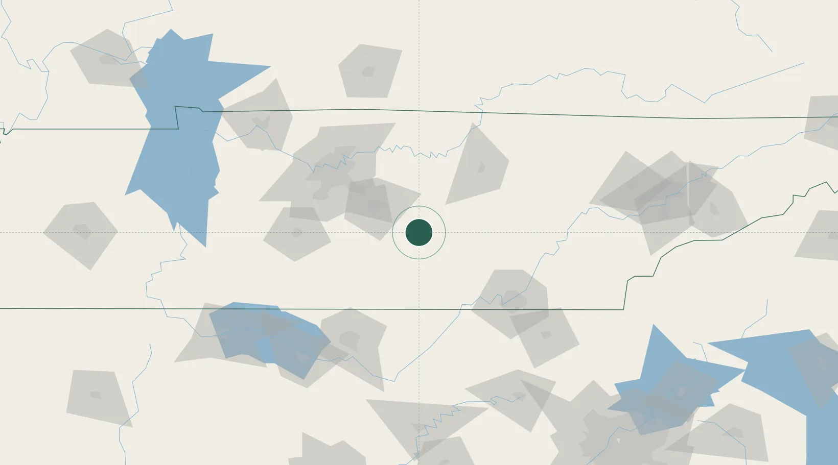
Location
Nearby Logistics Neighbours
Cities
- 1Manchester17 km
- 2Woodbury21 km
- 3Bell Buckle29 km
- 4Smithville41 km
- 5Decherd48 km
Ports
- 1Port Of Memphis380 km
- 2Mobile584 km
- 3Pensacola592 km
- 4Savannah604 km
- 5Beaufort609 km
Airports
Trade Zones
- 1FTZ No. 134 Chattanooga84 km
- 2FTZ No. 078 Nashville111 km
- 3FTZ No. 083 Huntsville129 km
- 4FTZ No. 270 Lawrence County137 km
- 5FTZ No. 265 Conroe (Montgomery County)137 km
DatabookThe Record of Consolidated Knowledge
United States beyond logistics?