UN/LOCODE hub · United States
USYSM
Smithville
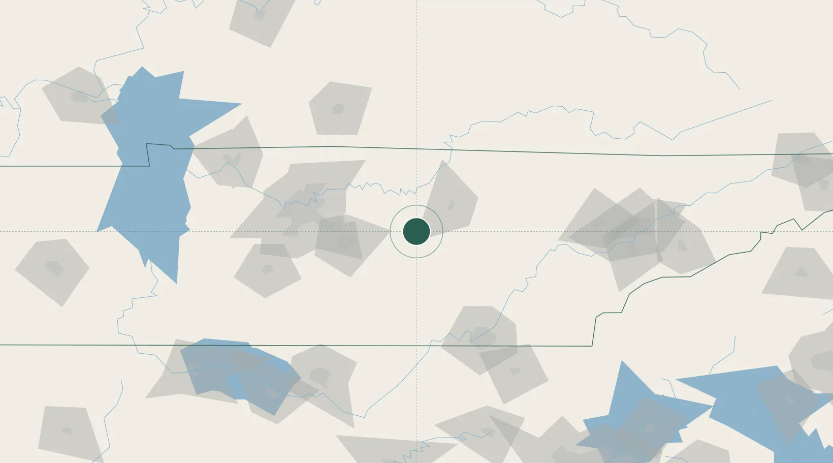
35.9500°, -85.8000°
4,640
Population
2
Transport functions
Transport Functions
Road
Multimodal
Hub Profile
Place type
Provincial seat
Region
Tennessee
Population
4,640
Time zone
America/Chicago
Elevation
316 m
Location
Nearby Logistics Neighbours
Cities
- 1Woodbury28 km
- 2Carthage36 km
- 3Pocahontas41 km
- 4Algood42 km
- 5Manchester58 km
Ports
- 1Savannah611 km
- 2Beaufort613 km
- 3Port Royal617 km
- 4Mobile624 km
- 5Pensacola631 km
Airports
Trade Zones
- 1FTZ No. 134 Chattanooga102 km
- 2FTZ No. 078 Nashville117 km
- 3FTZ No. 148 Knoxville142 km
- 4FTZ No. 083 Huntsville170 km
- 5FTZ No. 270 Lawrence County177 km
DatabookThe Record of Consolidated Knowledge
United States beyond logistics?