Transport Functions
Rail
Road
Multimodal
Hub Profile
Place type
Populated place
Region
Tennessee
Population
2,424
Time zone
America/Chicago
Elevation
292 m
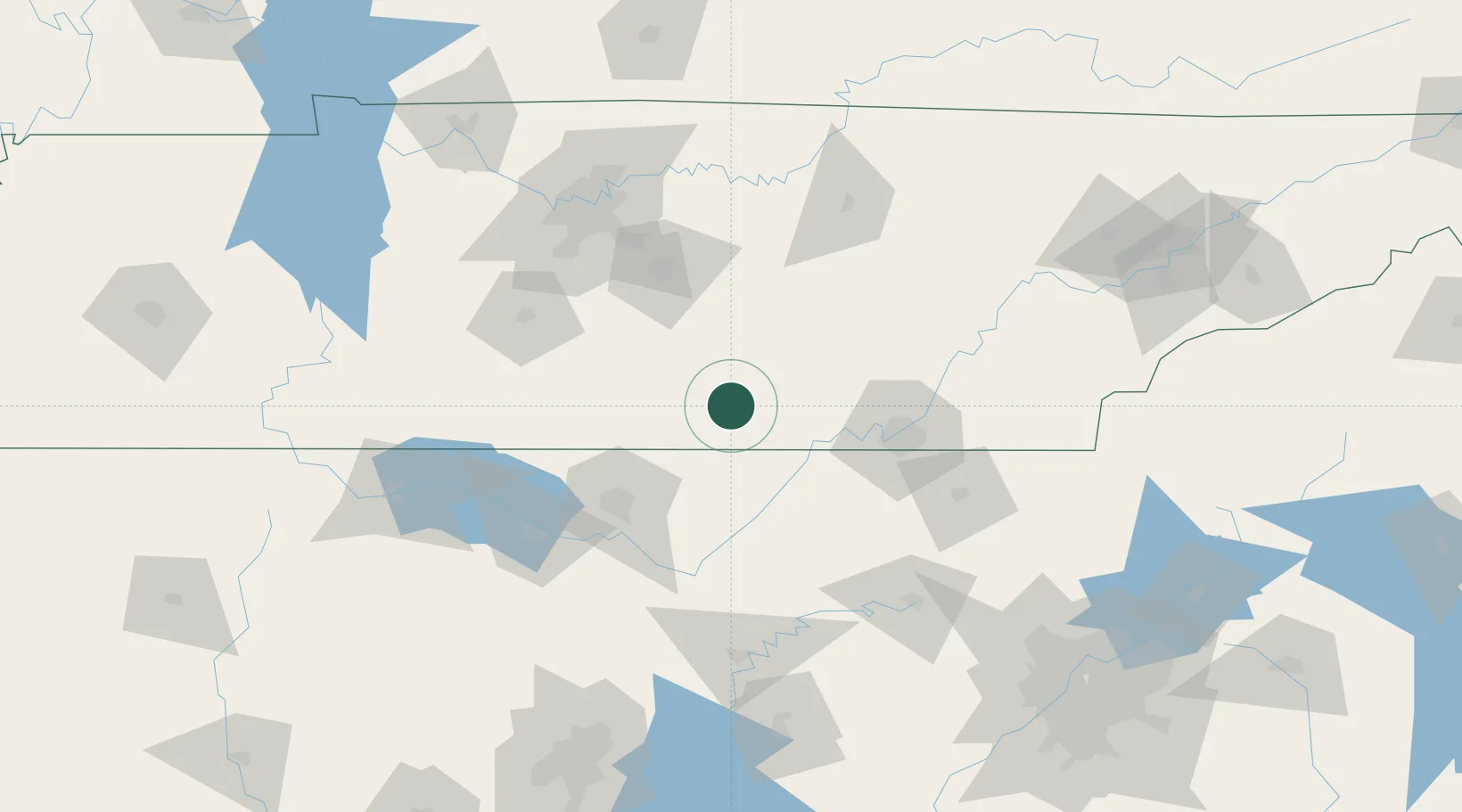
Location
Nearby Logistics Neighbours
Cities
- 1Manchester32 km
- 2Elora33 km
- 3Hillsboro, Madison44 km
- 4Pocahontas48 km
- 5Bell Buckle50 km
Ports
- 1Port Of Memphis373 km
- 2Mobile537 km
- 3Pensacola544 km
- 4Panama City565 km
- 5Savannah577 km
Airports
Trade Zones
DatabookThe Record of Consolidated Knowledge
United States beyond logistics?