UN/LOCODE hub · United States
USAQS
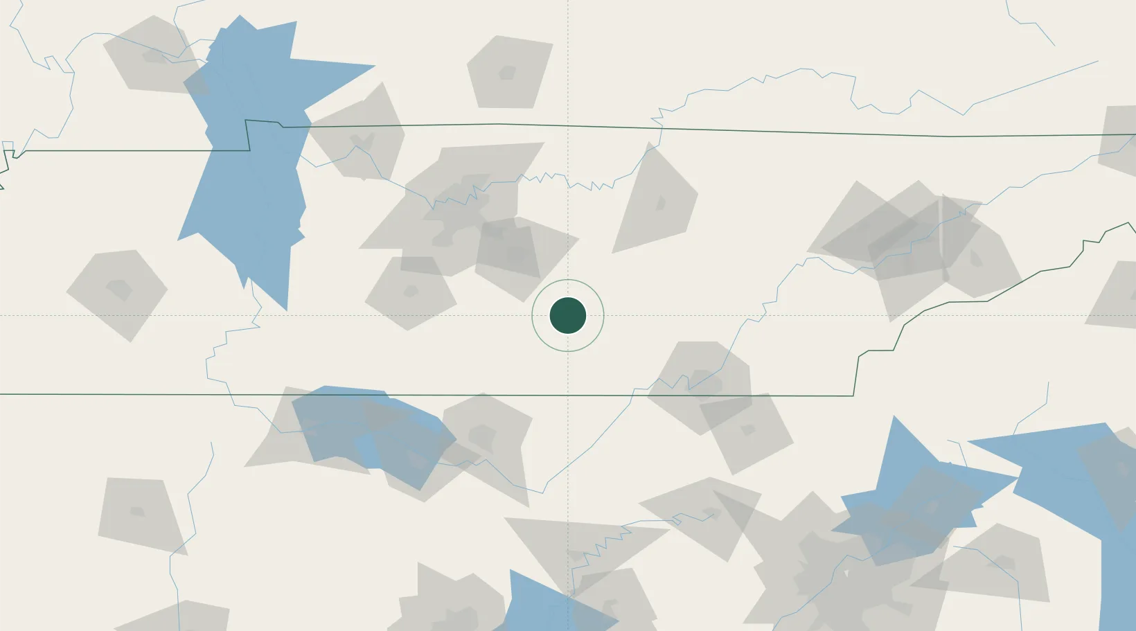
Manchester
35.4833°, -86.0833°
10,517
Population
3
Transport functions
Transport Functions
Rail
Road
Multimodal
Hub Profile
Place type
Provincial seat
Region
Tennessee
Population
10,517
Time zone
America/Chicago
Elevation
323 m
Location
Nearby Logistics Neighbours
Cities
- 1Pocahontas17 km
- 2Bell Buckle27 km
- 3Decherd32 km
- 4Woodbury37 km
- 5Elora57 km
Ports
- 1Port Of Memphis374 km
- 2Mobile566 km
- 3Pensacola575 km
- 4Panama City596 km
- 5Savannah597 km
Airports
Trade Zones
- 1FTZ No. 134 Chattanooga77 km
- 2FTZ No. 083 Huntsville112 km
- 3FTZ No. 078 Nashville118 km
- 4FTZ No. 270 Lawrence County121 km
- 5FTZ No. 265 Conroe (Montgomery County)121 km
DatabookThe Record of Consolidated Knowledge
United States beyond logistics?