UN/LOCODE hub · United States
USQDB
Woodbury
35.8167°, -86.0667°
2,762
Population
2
Transport functions
Transport Functions
Road
Multimodal
Hub Profile
Place type
Provincial seat
Region
Tennessee
Population
2,762
Time zone
America/Chicago
Elevation
220 m
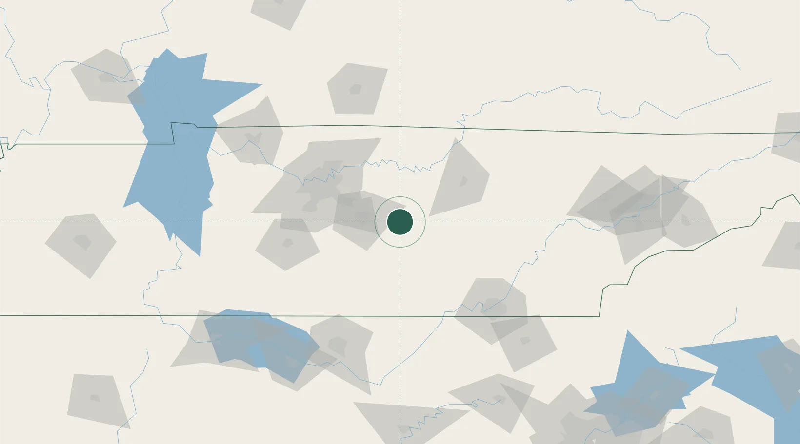
Location
Nearby Logistics Neighbours
Cities
- 1Pocahontas21 km
- 2Smithville28 km
- 3Bell Buckle36 km
- 4Manchester37 km
- 5Carthage49 km
Ports
- 1Port Of Memphis381 km
- 2Mobile602 km
- 3Pensacola612 km
- 4Savannah619 km
- 5Beaufort623 km
Airports
Trade Zones
- 1FTZ No. 078 Nashville99 km
- 2FTZ No. 134 Chattanooga101 km
- 3FTZ No. 083 Huntsville145 km
- 4FTZ No. 265 Conroe (Montgomery County)152 km
- 5FTZ No. 270 Lawrence County152 km
DatabookThe Record of Consolidated Knowledge
United States beyond logistics?