UN/LOCODE hub · United States
USQBB
Bell Buckle
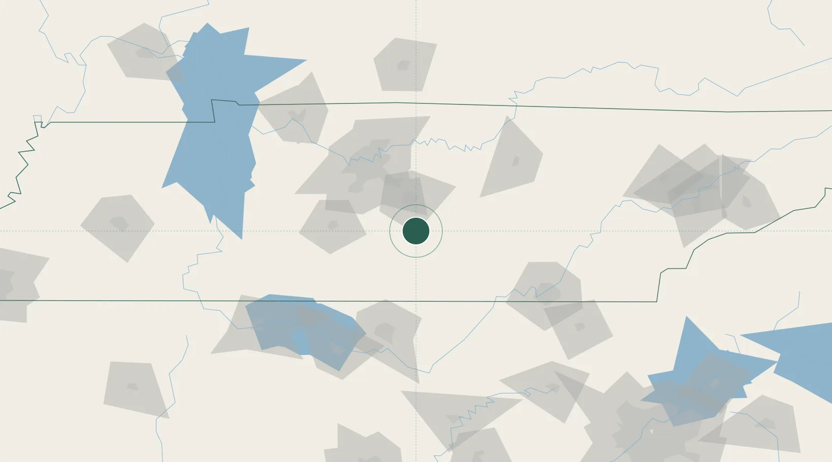
35.5833°, -86.3500°
517
Population
2
Transport functions
Transport Functions
Rail
Road
Hub Profile
Place type
Populated place
Region
Tennessee
Population
517
Time zone
America/Chicago
Elevation
261 m
Location
Nearby Logistics Neighbours
Cities
- 1Manchester27 km
- 2Pocahontas29 km
- 3Woodbury36 km
- 4Verona38 km
- 5Decherd50 km
Ports
- 1Port Of Memphis351 km
- 2Mobile569 km
- 3Pensacola582 km
- 4Panama City610 km
- 5Pascagoula618 km
Airports
Trade Zones
- 1FTZ No. 078 Nashville93 km
- 2FTZ No. 134 Chattanooga103 km
- 3FTZ No. 083 Huntsville111 km
- 4FTZ No. 265 Conroe (Montgomery County)116 km
- 5FTZ No. 270 Lawrence County117 km
DatabookThe Record of Consolidated Knowledge
United States beyond logistics?