Transport Functions
Rail
Road
Multimodal
Hub Profile
Place type
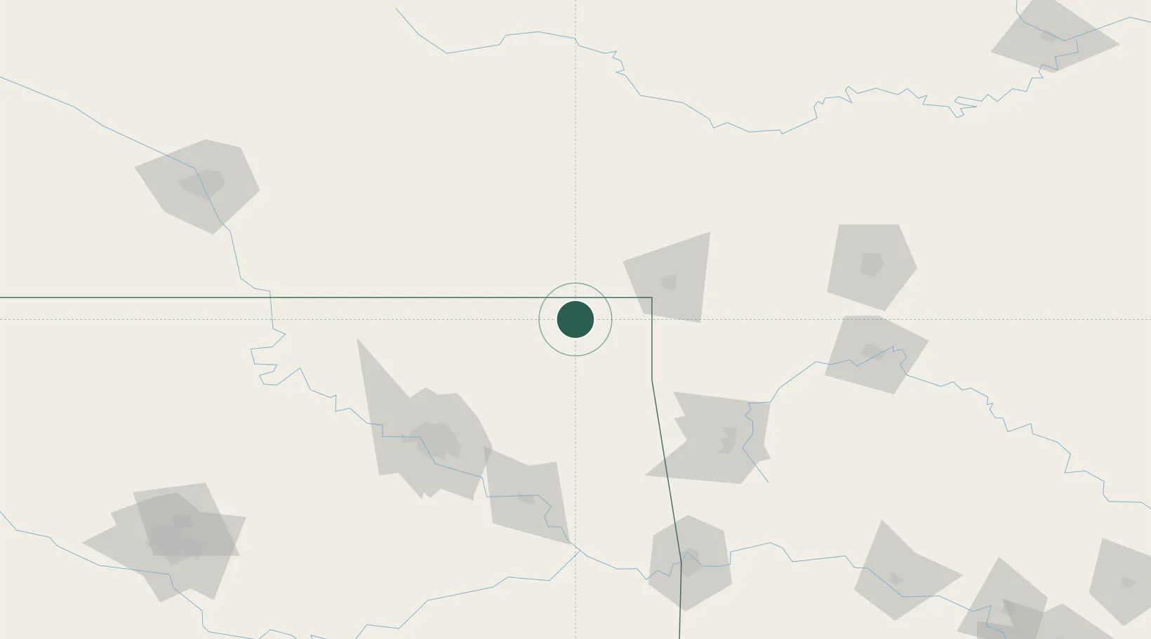
Populated place
Region
Oklahoma
Population
611
Time zone
America/Chicago
Elevation
250 m
Location
Nearby Logistics Neighbours
Cities
- 1Fairland26 km
- 2Quapaw28 km
- 3Baxter Springs35 km
- 4Columbus40 km
- 5Galena47 km
Ports
- 1Port Of Memphis486 km
- 2Lake Charles759 km
- 3Beaumont760 km
- 4Orange765 km
- 5Port Neches771 km
Airports
Trade Zones
- 1FTZ No. 053 Rogers County91 km
- 2FTZ No. 164 Muskogee130 km
- 3FTZ No. 225 Springfield175 km
- 4FTZ No. 015 Kansas City220 km
- 5FTZ No. 017 Kansas City248 km
DatabookThe Record of Consolidated Knowledge
United States beyond logistics?