UN/LOCODE hub · United States
USFAJ
Fairland
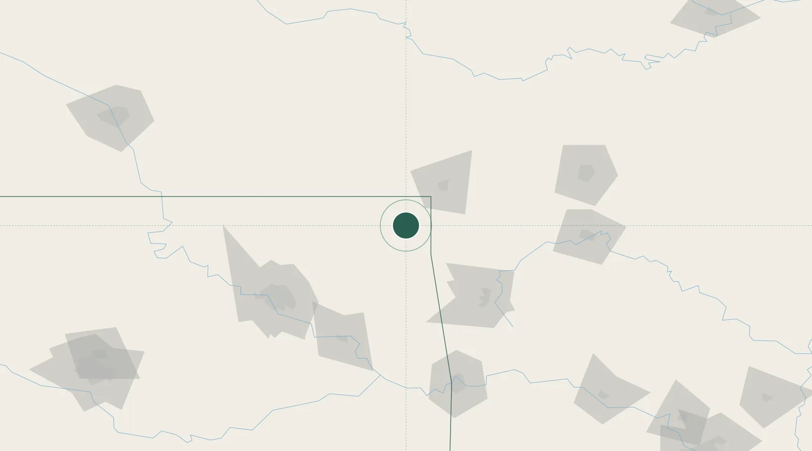
36.7500°, -94.8333°
1,062
Population
2
Transport functions
Transport Functions
Road
Multimodal
Hub Profile
Place type
Populated place
Region
Oklahoma
Population
1,062
Time zone
America/Chicago
Elevation
254 m
Location
Nearby Logistics Neighbours
Cities
- 1Quapaw23 km
- 2Welch26 km
- 3Baxter Springs31 km
- 4Galena41 km
- 5Columbus46 km
Ports
- 1Port Of Memphis460 km
- 2Lake Charles741 km
- 3Beaumont745 km
- 4Orange748 km
- 5Port Neches755 km
Airports
- 1Joplin Regional Airport54 km
- 2Northwest Arkansas National Airport70 km
- 3Drake Field102 km
- 4Tulsa International Airport112 km
- 5Chanute Martin Johnson Airport117 km
Trade Zones
- 1FTZ No. 053 Rogers County102 km
- 2FTZ No. 164 Muskogee126 km
- 3FTZ No. 225 Springfield157 km
- 4FTZ No. 015 Kansas City232 km
- 5FTZ No. 017 Kansas City260 km
DatabookThe Record of Consolidated Knowledge
United States beyond logistics?