Transport Functions
Rail
Road
Multimodal
Hub Profile
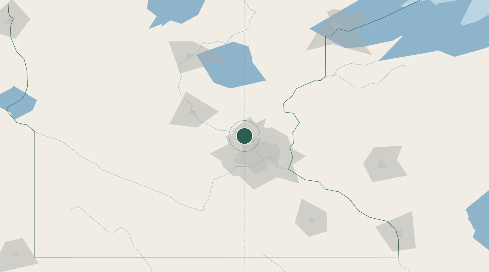
Place type
Populated place
Region
Minnesota
Population
25,828
Time zone
America/Chicago
Elevation
267 m
Location
Nearby Logistics Neighbours
Cities
- 1Champlin8 km
- 2Elk River12 km
- 3Saint Michael16 km
- 4Spring Lake Park23 km
- 5Hamel23 km
Ports
- 1Superior198 km
- 2Duluth200 km
- 3Two Harbors242 km
- 4Ashland251 km
- 5Washburn255 km
Airports
Trade Zones
- 1FTZ No. 119 Minneapolis-St. Paul34 km
- 2FTZ No. 051 Duluth194 km
- 3FTZ No. 288 Northwest Iowa311 km
- 4FTZ No. 220 Sioux Falls325 km
- 5FTZ No. 267 Fargo326 km
DatabookThe Record of Consolidated Knowledge
United States beyond logistics?