Transport Functions
Rail
Road
Multimodal
Hub Profile
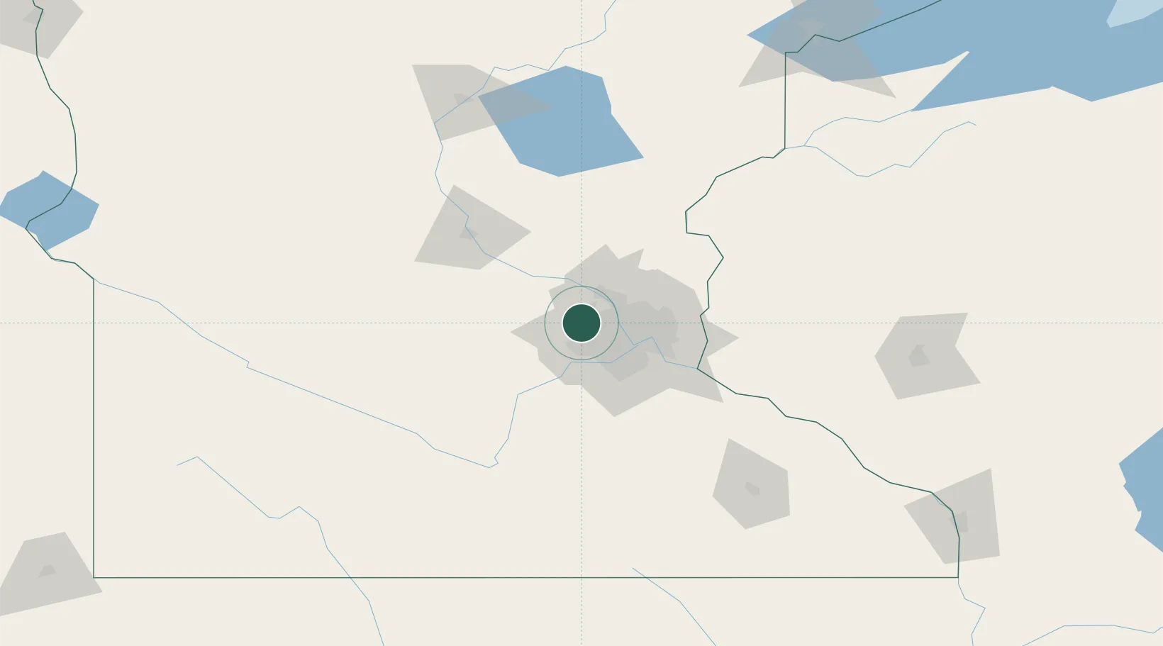
Place type
Populated place
Region
Minnesota
Time zone
America/Chicago
Elevation
311 m
Location
Nearby Logistics Neighbours
Cities
- 1Wayzata8 km
- 2Orono10 km
- 3Maple Plain11 km
- 4Greenfield12 km
- 5Rockford18 km
Ports
- 1Superior220 km
- 2Duluth222 km
- 3Two Harbors263 km
- 4Ashland269 km
- 5Washburn273 km
Airports
Trade Zones
- 1FTZ No. 119 Minneapolis-St. Paul23 km
- 2FTZ No. 051 Duluth216 km
- 3FTZ No. 288 Northwest Iowa292 km
- 4FTZ No. 220 Sioux Falls309 km
- 5FTZ No. 267 Fargo335 km
DatabookThe Record of Consolidated Knowledge
United States beyond logistics?