UN/LOCODE hub · United States
USER2
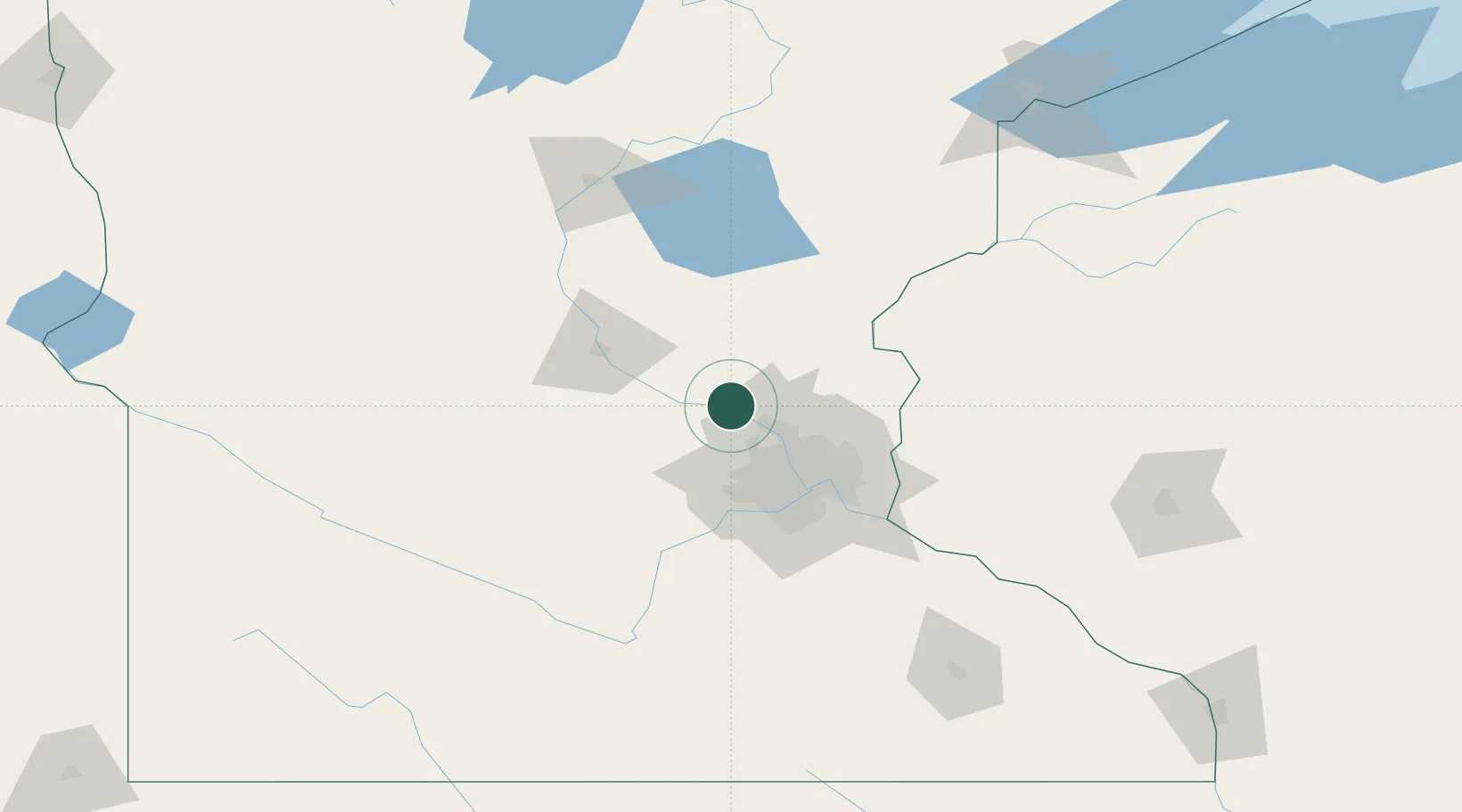
Elk River
45.3000°, -93.5667°
23,963
Population
3
Transport functions
Transport Functions
Port
Rail
Road
Hub Profile
Place type
Provincial seat
Region
Minnesota
Population
23,963
Time zone
America/Chicago
Elevation
273 m
Location
Nearby Logistics Neighbours
Cities
- 1Ramsey12 km
- 2Saint Michael13 km
- 3Big Lake15 km
- 4Monticello17 km
- 5Champlin19 km
Ports
- 1Superior197 km
- 2Duluth199 km
- 3Two Harbors241 km
- 4Ashland254 km
- 5Washburn257 km
Airports
Trade Zones
- 1FTZ No. 119 Minneapolis-St. Paul45 km
- 2FTZ No. 051 Duluth192 km
- 3FTZ No. 288 Northwest Iowa311 km
- 4FTZ No. 267 Fargo314 km
- 5FTZ No. 220 Sioux Falls322 km
DatabookThe Record of Consolidated Knowledge
United States beyond logistics?