UN/LOCODE hub · United States
USTMI
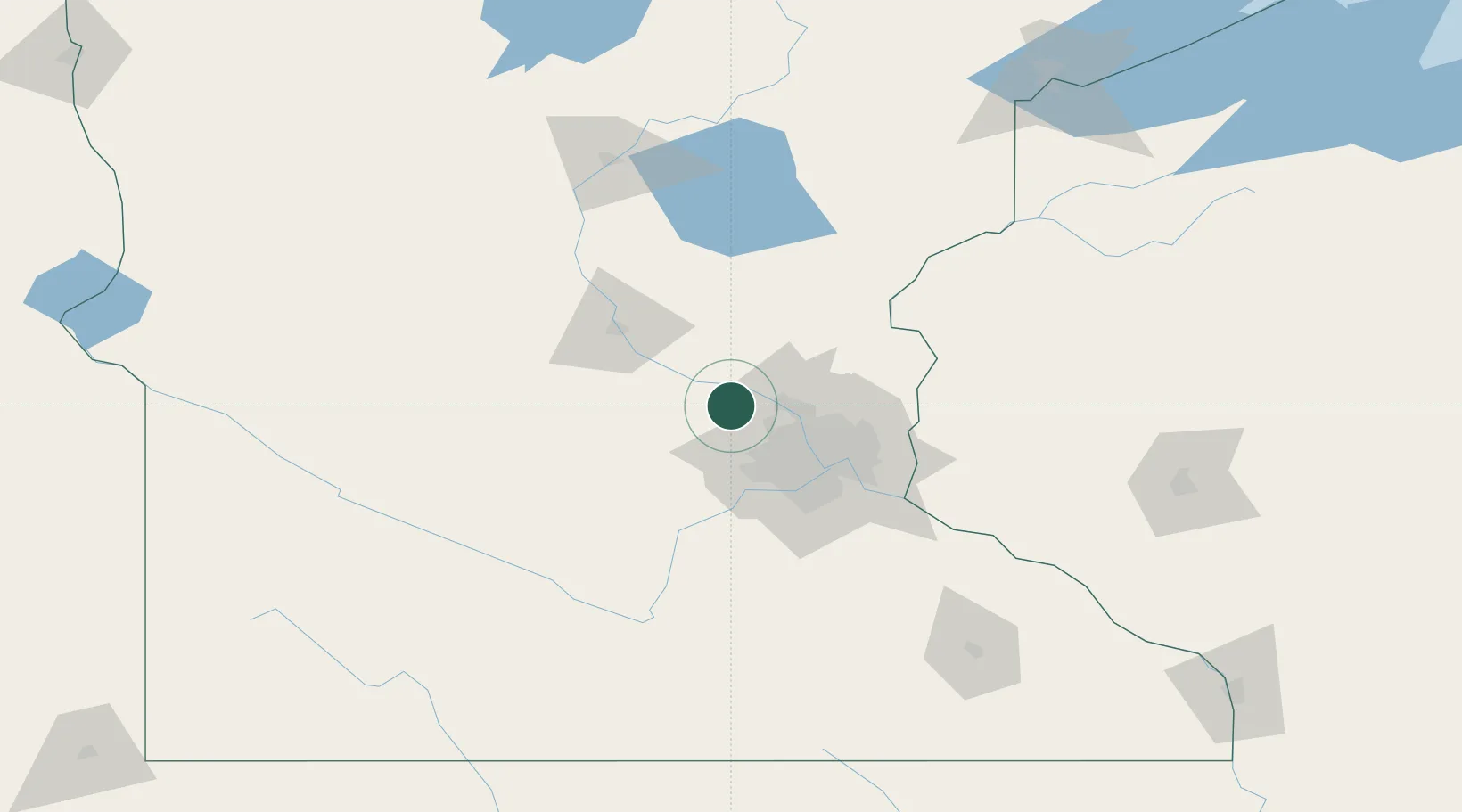
Saint Michael
45.2000°, -93.6500°
16,399
Population
2
Transport functions
Transport Functions
Road
Multimodal
Hub Profile
Place type
Populated place
Region
Minnesota
Population
16,399
Time zone
America/Chicago
Elevation
294 m
Location
Nearby Logistics Neighbours
Cities
- 1Elk River13 km
- 2Rockford15 km
- 3Greenfield15 km
- 4Monticello15 km
- 5Ramsey16 km
Ports
- 1Superior210 km
- 2Duluth211 km
- 3Two Harbors254 km
- 4Ashland266 km
- 5Washburn269 km
Airports
Trade Zones
- 1FTZ No. 119 Minneapolis-St. Paul41 km
- 2FTZ No. 051 Duluth205 km
- 3FTZ No. 288 Northwest Iowa298 km
- 4FTZ No. 220 Sioux Falls310 km
- 5FTZ No. 267 Fargo315 km
DatabookThe Record of Consolidated Knowledge
United States beyond logistics?