UN/LOCODE hub · United States
USYFV
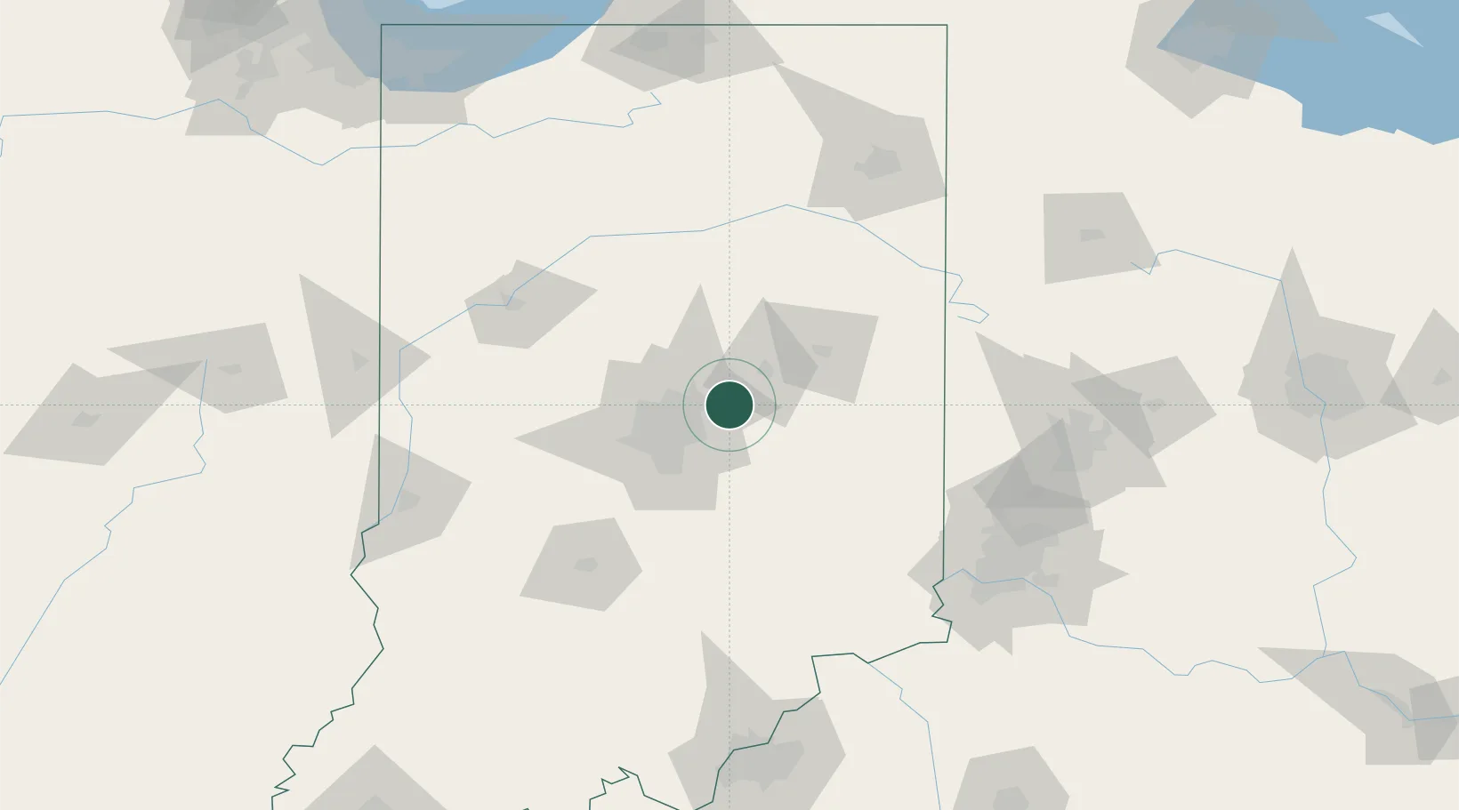
Fortville
39.9333°, -85.8500°
3,957
Population
2
Transport functions
Transport Functions
Rail
Road
Hub Profile
Place type
Populated place
Region
Indiana
Population
3,957
Time zone
America/Indiana/Indianapolis
Elevation
261 m
Location
Nearby Logistics Neighbours
Cities
- 1Markleville22 km
- 2Middletown30 km
- 3Atlanta33 km
- 4Knightstown33 km
- 5Zionsville34 km
Ports
- 1Michigan City219 km
- 2Gary225 km
- 3Indiana Harbor234 km
- 4Calumet Harbor244 km
- 5St Joseph249 km
Airports
Trade Zones
- 1FTZ No. 072 Indianapolis46 km
- 2FTZ No. 100 Dayton135 km
- 3FTZ No. 047 Boone County136 km
- 4FTZ No. 182 Fort Wayne136 km
- 5FTZ No. 046 CIncinnati147 km
DatabookThe Record of Consolidated Knowledge
United States beyond logistics?