Transport Functions
Road
Multimodal
Hub Profile
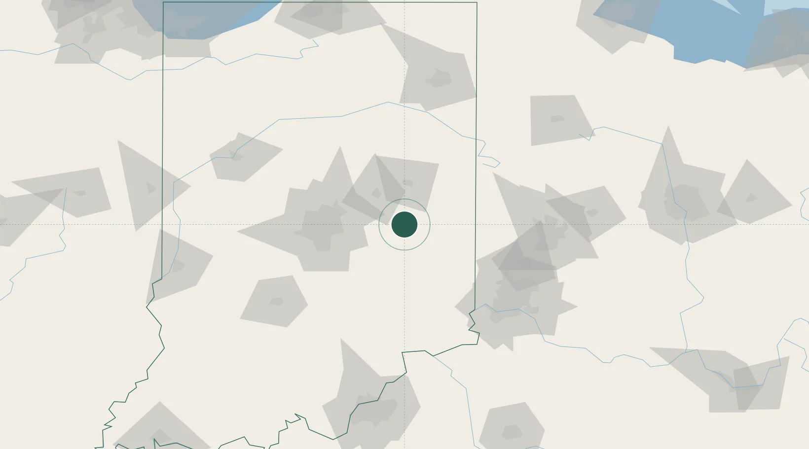
Place type
Populated place
Region
Indiana
Population
868
Time zone
America/Indiana/Indianapolis
Elevation
320 m
Location
Nearby Logistics Neighbours
Cities
- 1Knightstown9 km
- 2Henderson20 km
- 3Markleville21 km
- 4Hagerstown24 km
- 5Middletown26 km
Ports
- 1Michigan City245 km
- 2Gary255 km
- 3Indiana Harbor264 km
- 4Toledo266 km
- 5St Joseph269 km
Airports
Trade Zones
- 1FTZ No. 072 Indianapolis76 km
- 2FTZ No. 100 Dayton98 km
- 3FTZ No. 047 Boone County108 km
- 4FTZ No. 046 CIncinnati114 km
- 5FTZ No. 182 Fort Wayne139 km
DatabookThe Record of Consolidated Knowledge
United States beyond logistics?