UN/LOCODE hub · United States
USHD7

Henderson

39.6667°, -85.5167°
2
Transport functions

Transport Functions

Road
Multimodal
UN/LOCODE

Hub Profile

Place type
Populated place
GeoNames
Region
Indiana
GeoNames
Time zone
America/Indiana/Indianapolis
GeoNames
Elevation
289 m
GeoNames

Location

Location of USHD7
Natural Earth 10m (public domain) · Indiana · USHD7 · 39.67, -85.52GoogleOSMYandex

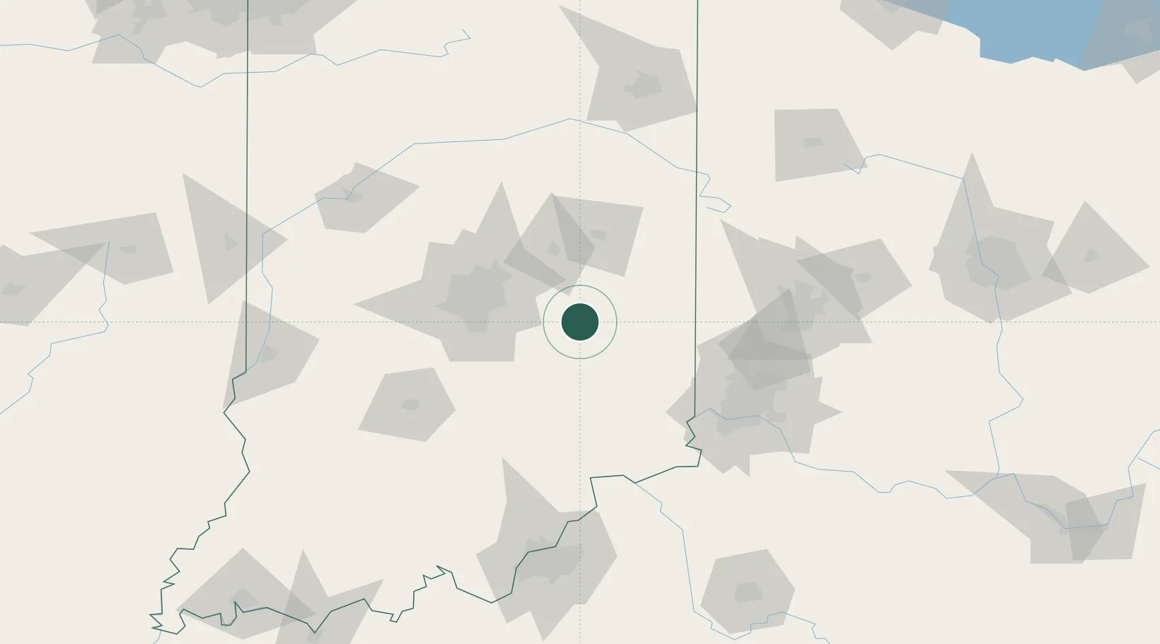
Nearby Logistics Neighbours

Cities
  1. 1Rushville10 km
  2. 2Knightstown13 km
  3. 3Spiceland20 km
  4. 4Milroy21 km
  5. 5Middletown, Shelby25 km
Nearest neighbours — logibook spatial index (haversine) over the source coordinates
Ports
  1. 1Michigan City258 km
  2. 2Gary266 km
  3. 3Indiana Harbor275 km
  4. 4St Joseph284 km
  5. 5Toledo285 km
Nearest neighbours — logibook spatial index (haversine) over the source coordinates
Airports
  1. 1Columbus Municipal Airport56 km
  2. 2Delaware County Johnson Field65 km
  3. 3Indianapolis International Airport67 km
  4. 4Cincinnati Northern Kentucky International Airport100 km
  5. 5Monroe County Airport111 km
Nearest neighbours — logibook spatial index (haversine) over the source coordinates
Trade Zones
  1. 1FTZ No. 072 Indianapolis69 km
  2. 2FTZ No. 047 Boone County95 km
  3. 3FTZ No. 100 Dayton106 km
  4. 4FTZ No. 046 CIncinnati107 km
  5. 5FTZ No. 054 Clinton County151 km
Nearest neighbours — logibook spatial index (haversine) over the source coordinates
DatabookThe Record of Consolidated Knowledge
United States beyond logistics?
Browse databook

All Sources

LocationsUN/LOCODE
UN/LOCODE — free
Portsthe NGA World Port Index
Public domain (US gov)
AirportsOurAirports
Public domain
Trade Zonesthe World Bank SEZ database
CC BY 4.0
Trade ZonesOpen Zone Map
CC BY
← United States locations