UN/LOCODE hub · United States
USVCH
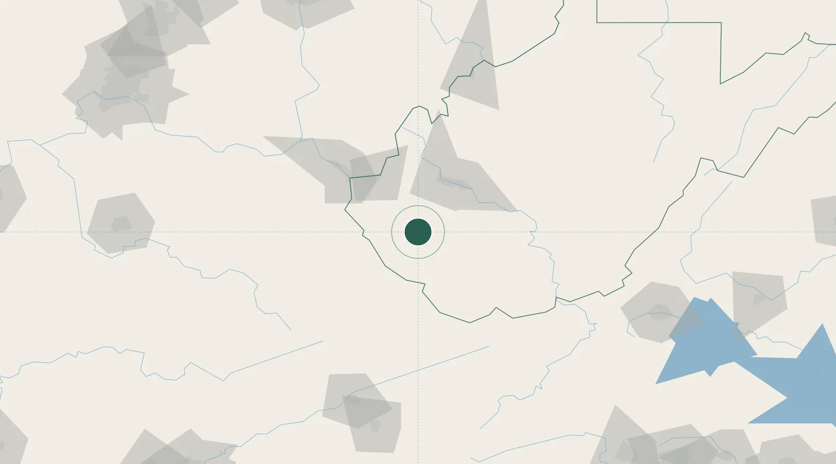
Chapmanville
37.9667°, -82.0167°
1,205
Population
2
Transport functions
Transport Functions
Rail
Road
Hub Profile
Place type
Populated place
Region
West Virginia
Population
1,205
Time zone
America/New_York
Elevation
195 m
Location
Nearby Logistics Neighbours
Airports
Trade Zones
- 1FTZ No. 229 Charleston50 km
- 2FTZ No. 238 Dublin151 km
- 3FTZ No. 204 Tri-Cities169 km
- 4FTZ No. 138 Franklin County221 km
- 5FTZ No. 054 Clinton County224 km
DatabookThe Record of Consolidated Knowledge
United States beyond logistics?