Transport Functions
Multimodal
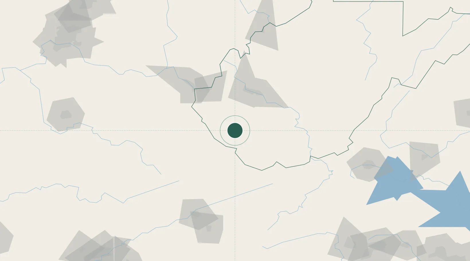
Hub Profile
Place type
Populated place
Region
West Virginia
Population
309
Time zone
America/New_York
Elevation
217 m
Location
Nearby Logistics Neighbours
Cities
- 1Switzer0 km
- 2Whitman4 km
- 3Holden6 km
- 4Chapmanville19 km
- 5Madison33 km
Ports
- 1Fredericksburg401 km
- 2Richmond403 km
- 3Huron403 km
- 4Vermilion405 km
- 5Lorain408 km
Airports
Trade Zones
- 1FTZ No. 229 Charleston65 km
- 2FTZ No. 238 Dublin138 km
- 3FTZ No. 204 Tri-Cities151 km
- 4FTZ No. 138 Franklin County239 km
- 5FTZ No. 054 Clinton County240 km
DatabookThe Record of Consolidated Knowledge
United States beyond logistics?