Transport Functions
Multimodal
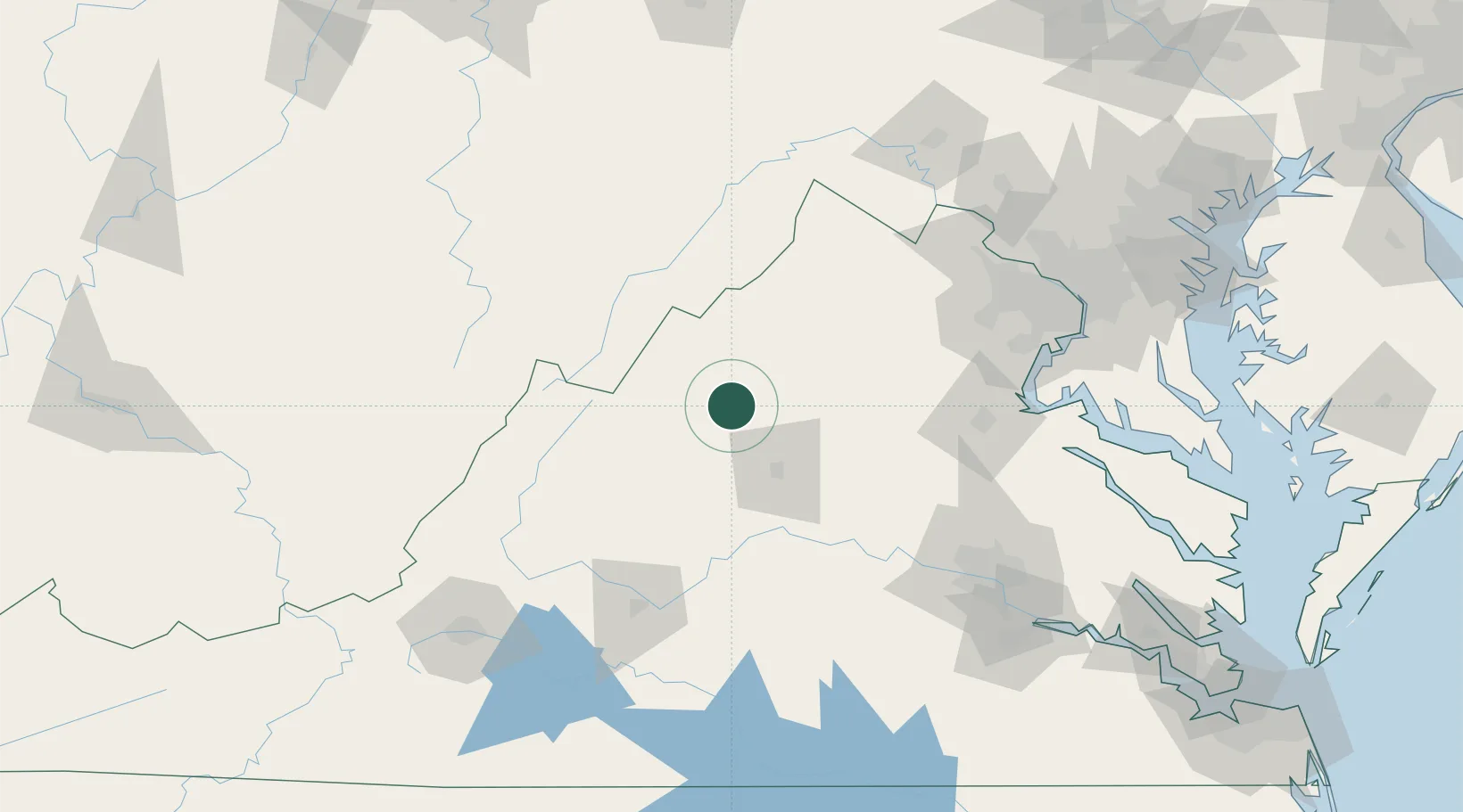
Hub Profile
Place type
Populated place
Region
Virginia
Time zone
America/New_York
Elevation
342 m
Location
Nearby Logistics Neighbours
Cities
- 1Port Republic11 km
- 2Mount Crawford19 km
- 3Bridgewater22 km
- 4Newport25 km
- 5Crimora27 km
Ports
- 1Fredericksburg111 km
- 2Richmond147 km
- 3Alexandria154 km
- 4Washington D.C.157 km
- 5West Point192 km
Airports
Trade Zones
DatabookThe Record of Consolidated Knowledge
United States beyond logistics?