Transport Functions
Multimodal
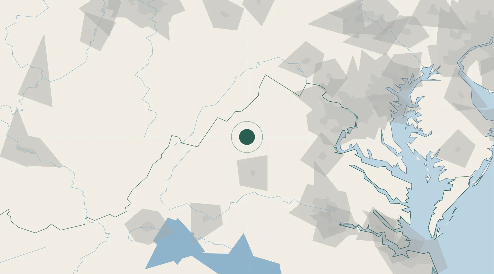
Hub Profile
Place type
Populated place
Region
Virginia
Time zone
America/New_York
Elevation
248 m
Location
Nearby Logistics Neighbours
Cities
- 1Quicksburg16 km
- 2Mcgaheysville25 km
- 3Port Republic36 km
- 4Mount Crawford39 km
- 5Bridgewater40 km
Ports
- 1Fredericksburg103 km
- 2Alexandria137 km
- 3Washington D.C.139 km
- 4Richmond154 km
- 5Piney Point185 km
Airports
Trade Zones
DatabookThe Record of Consolidated Knowledge
United States beyond logistics?