Transport Functions
Rail
Road
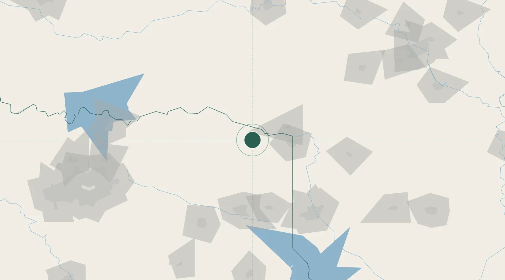
Hub Profile
Place type
Populated place
Region
Texas
Population
1,657
Time zone
America/Chicago
Elevation
125 m
Location
Nearby Logistics Neighbours
Cities
- 1Hooks30 km
- 2Panhandle, Cass39 km
- 3Nash44 km
- 4Idabel47 km
- 5Mount Pleasant50 km
Ports
- 1Beaumont383 km
- 2Lake Charles387 km
- 3Orange389 km
- 4Port Neches394 km
- 5Port Arthur412 km
Airports
- 1Texarkana Regional Airport (Webb Field)57 km
- 2Cox Field80 km
- 3East Texas Regional Airport125 km
- 4Shreveport Regional Airport138 km
- 5Barksdale Air Force Base141 km
Trade Zones
- 1FTZ No. 258 Bowie County8 km
- 2FTZ No. 234 Gregg County114 km
- 3FTZ No. 145 Shreveport130 km
- 4FTZ No. 146 Lawrence County130 km
- 5FTZ No. 227 Durant175 km
DatabookThe Record of Consolidated Knowledge
United States beyond logistics?