UN/LOCODE hub · United States
USBIU
Boyne Falls
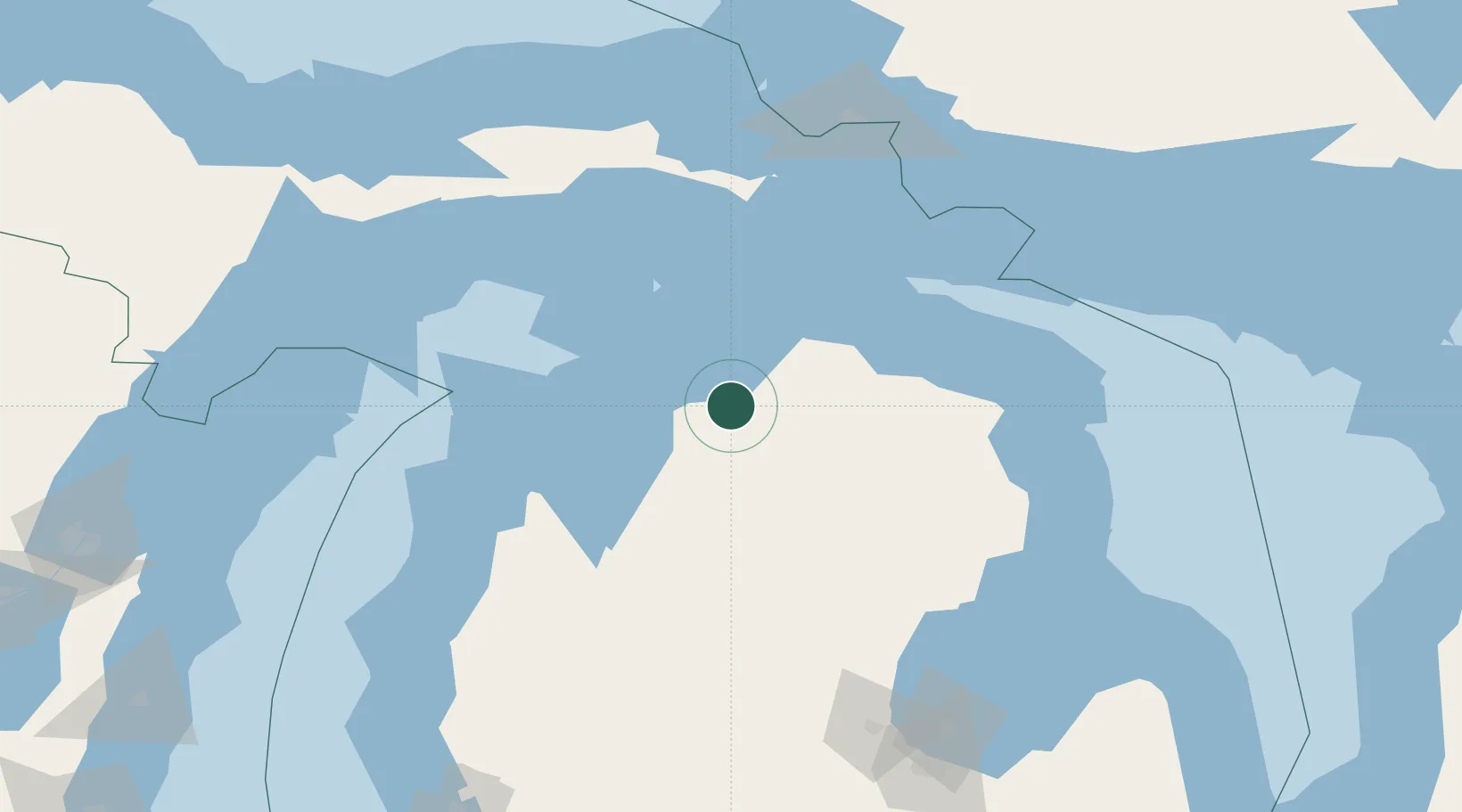
45.1667°, -84.9167°
295
Population
2
Transport functions
Transport Functions
Rail
Road
Hub Profile
Place type
Populated place
Region
Michigan
Population
295
Time zone
America/Detroit
Elevation
217 m
Location
Nearby Logistics Neighbours
Cities
- 1Boyne City9 km
- 2Conway28 km
- 3Central Lake28 km
- 4Harbor Springs30 km
- 5Alanson31 km
Ports
- 1Petoskey23 km
- 2Harbor Springs30 km
- 3Charlevoix32 km
- 4Cheboygan64 km
- 5Mackinaw City70 km
Airports
Trade Zones
- 1FTZ No. 016 Sault Ste. Marie152 km
- 2FTZ No. 189 Kent Ottawa/Muskegon Counties241 km
- 3FTZ No. 101 Clinton County248 km
- 4FTZ No. 284 Genesee County252 km
- 5FTZ No. 019 Omaha254 km
DatabookThe Record of Consolidated Knowledge
United States beyond logistics?